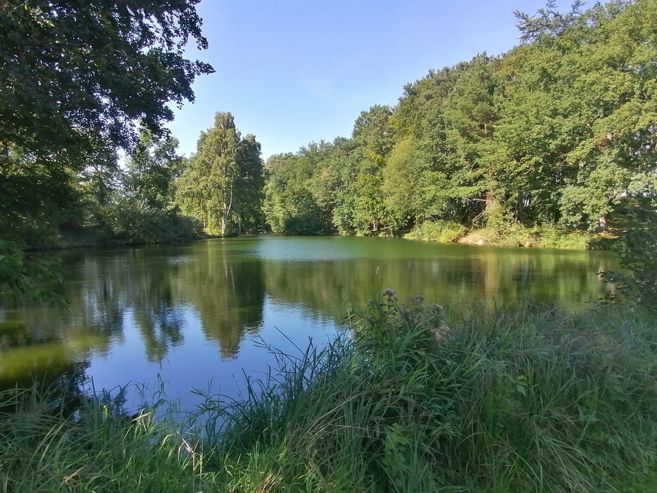
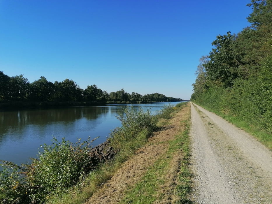
Schöne Radtour mit kleinen Abschnitten auf ehemaligen DDR Grenzwegen
Galerie du tour
Carte du tour et altitude
Minimum height 70 m
Maximum height 105 m
Commentaires

Start ist in der Tour Markiert, es ist ein Wohnmobil Stellplatz der zugleich aus als Parkplatz genutzt werden kann, sollte er voll sein stehen im Ort noch einige Parkplätze zu verfügung.
Tracks GPS
Trackpoints-
GPX / Garmin Map Source (gpx) download
-
TCX / Garmin Training Center® (tcx) download
-
CRS / Garmin Training Center® (crs) download
-
Google Earth (kml) download
-
G7ToWin (g7t) download
-
TTQV (trk) download
-
Overlay (ovl) download
-
Fugawi (txt) download
-
Kompass (DAV) Track (tk) download
-
Feuille de tours (pdf) download
-
Original file of the author (gpx) download
Add to my favorites
Remove from my favorites
Edit tags
Open track
My score
Rate


