Login

Login oublié ?

Cookies have to be accepted!
Your browser's cookie functionality is disabled. Please enable this functionality.

Not a member yet?

Register now
Login

Available for registred users only

Log in to use this feature.

Login oublié ?

Cookies have to be accepted!
Your browser's cookie functionality is disabled. Please enable this functionality.

Not a member yet?

Register now
Filter
Catégories
Advanced filters
  • Longueur (km)
  • Altimètre
Enregistrer le filtre Reset filter

TrackRank

QRCode

Technical data

Longueur7,7 km Altimètre152 m Way down143 m Durée00:00 h:m Date23.04.2024
Evaluations Author Paysage Aspect amusement Condition Technique

Statistiques

109 Vues Evaluations 0 Téléchargements Moyenne
Rate
  • Feuille de tours
  • Arrivée
  • Téléchargements
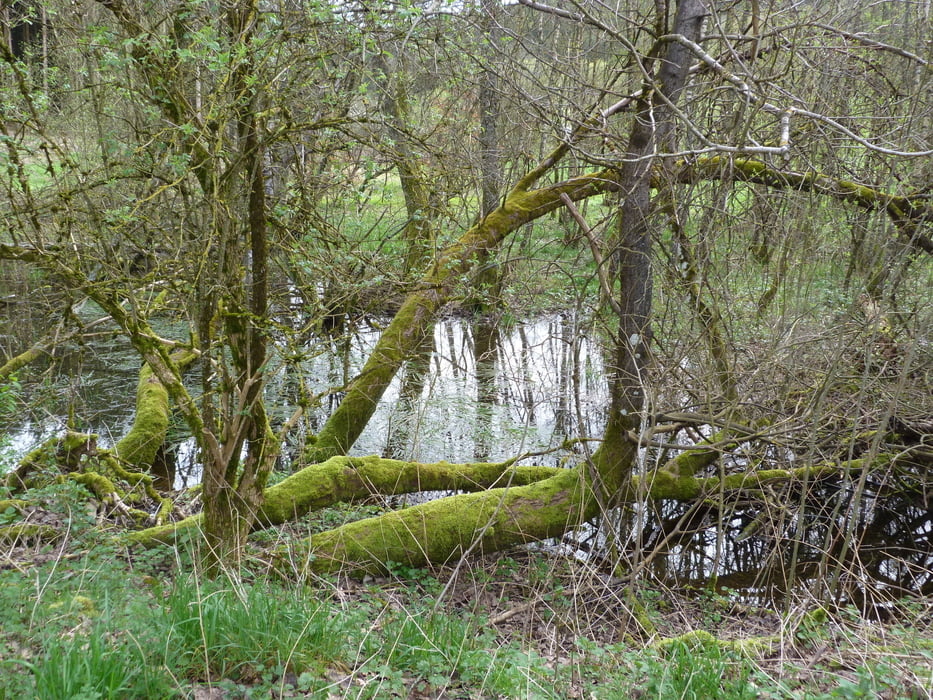
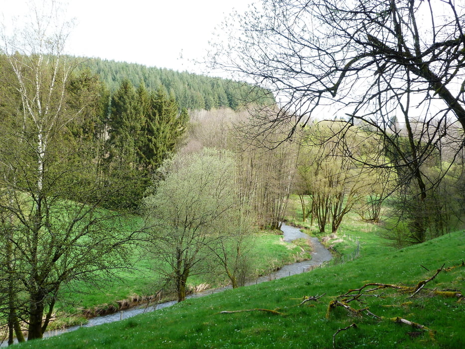
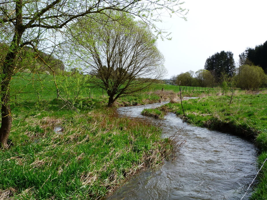
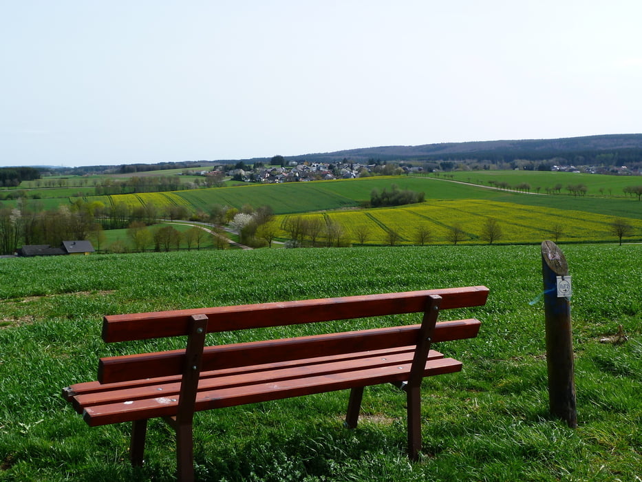
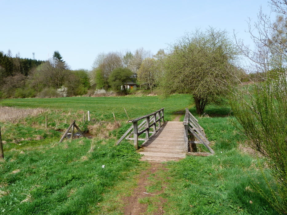
Dieser rund 7 km lange Wanderweg bei Mandern führt zwischen Ruwer und Burkelsbach entlang und macht den Wanderer mit den Feuchtwiesen rund um die Bäche im mittleren Ruwertal vertraut.

Galerie du tour

Carte du tour et altitude

  • Open Street Map
  • Google
Minimum height 403 m Maximum height 498 m Vue de détail

More about the tour author

Wanderkarin
Member since 2016

Send private message

Commentaires

Tracks GPS

Trackpoints
  • GPX / Garmin Map Source (gpx) download
  • TCX / Garmin Training Center® (tcx) download
  • CRS / Garmin Training Center® (crs) download
  • Google Earth (kml) download
  • G7ToWin (g7t) download
  • TTQV (trk) download
  • Overlay (ovl) download
  • Fugawi (txt) download
  • Kompass (DAV) Track (tk) download
  • Feuille de tours (pdf) download
  • Original file of the author (gpx) download

More about the tour author

Wanderkarin
Member since 2016

Send private message
Share track
Add to my favorites
Remove from my favorites
Edit tags
My score
Rate
Tour: RuT2 - Zwischen Ruwer und Burkelsbach
Cat.: Randonnées
Longueur: 7,7 km
Evaluated on:
Durée:
Day(s)
Hour(s)
Minute(s)
Evaluation: Paysage Aspect amusement Condition Technique