Login

Login oublié ?

Cookies have to be accepted!
Your browser's cookie functionality is disabled. Please enable this functionality.

Not a member yet?

Register now
Login

Available for registred users only

Log in to use this feature.

Login oublié ?

Cookies have to be accepted!
Your browser's cookie functionality is disabled. Please enable this functionality.

Not a member yet?

Register now
Filter
Catégories
Advanced filters
  • Longueur (km)
  • Altimètre
Enregistrer le filtre Reset filter

TrackRank

QRCode

Technical data

Longueur17,8 km Altimètre828 m Way down833 m Durée00:00 h:m Date18.05.2024
Evaluations Author Paysage Aspect amusement Condition Technique

Statistiques

298 Vues Evaluations 0 Téléchargements Moyenne
Rate
  • Feuille de tours
  • Arrivée
  • Téléchargements
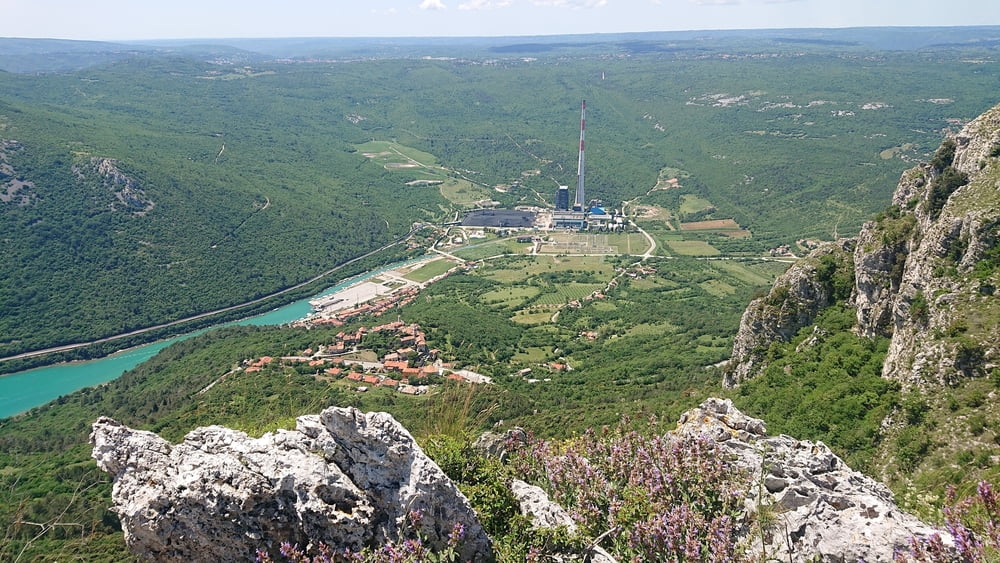
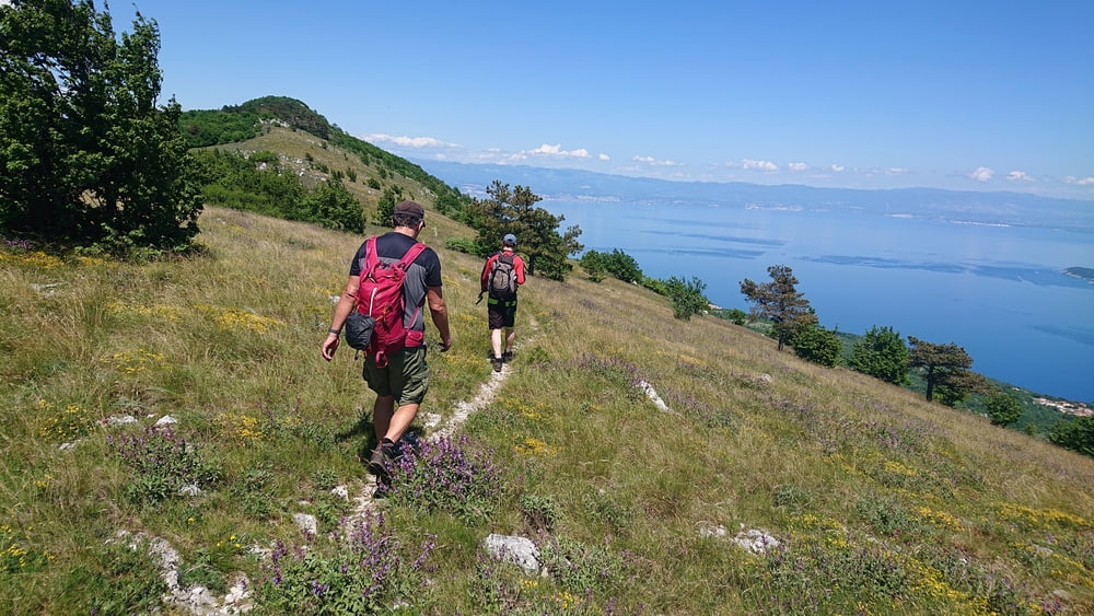
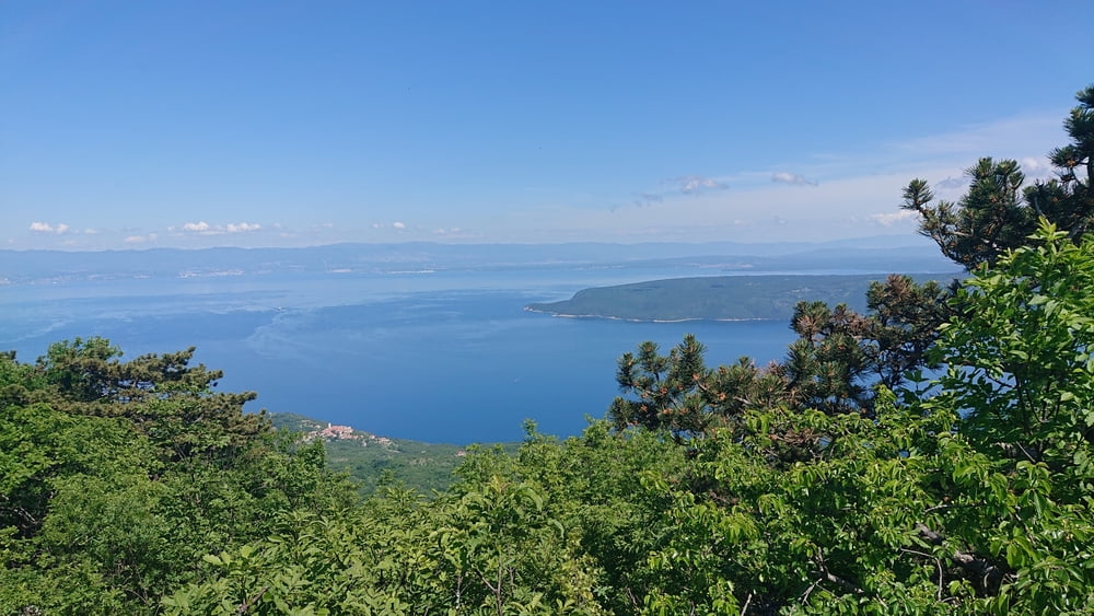
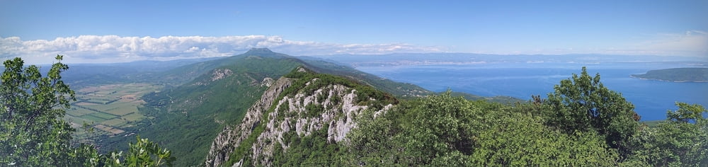
Von Plomin den Labinski planinarski put (LPP) Wanderweg nach NE auf das Plateau und dann am Grad entlang über den Bukovo zum Sisol. Abstieg über den Gipfel Sikovac  nach N bis zur Forststraße und dann bis zur Ortschaft Mihani und über einen Wanderweg hinab nach Moscenice. Der Gipfelbereich des Sisol ist felsig und tw. ausgesetzt.

Galerie du tour

Carte du tour et altitude

  • Open Street Map
  • Google
Minimum height 141 m Maximum height 821 m Vue de détail

More about the tour author

booble9
Member since 2008

Send private message

Commentaires

Mit dem öffentlichen Bus von Moscenicka Draga nach Plomin.

Tracks GPS

Trackpoints
  • GPX / Garmin Map Source (gpx) download
  • TCX / Garmin Training Center® (tcx) download
  • CRS / Garmin Training Center® (crs) download
  • Google Earth (kml) download
  • G7ToWin (g7t) download
  • TTQV (trk) download
  • Overlay (ovl) download
  • Fugawi (txt) download
  • Kompass (DAV) Track (tk) download
  • Feuille de tours (pdf) download
  • Original file of the author (gpx) download

More about the tour author

booble9
Member since 2008

Send private message
Share track
Add to my favorites
Remove from my favorites
Edit tags
My score
Rate
Tour: Plomin - Sisol - Moscenice
Cat.: Randonnées
Longueur: 17,8 km
Evaluated on:
Durée:
Day(s)
Hour(s)
Minute(s)
Evaluation: Paysage Aspect amusement Condition Technique