
")

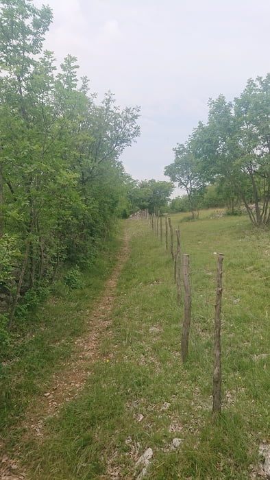
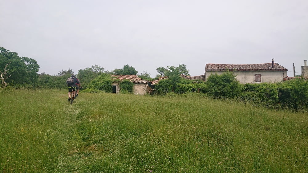
Von Labin beginnend auf Asphalt nach Süden bis Kranjci. Beim Denkmal links abbiegen und dann kurz darauf rechts in einen netten, bergauf durchaus fordernden, Singletrail einbiegen (Kranjci singl bei trailforks.com). Bei Kopac wieder auf die Straße kommend geht es auf Schotter weiter bergauf bis Gora Glusici. Von dort auf Singletrails weiter (Glusici - Goli bei trailforks.com) bis Mikaljini. Links abbiegen auf die Schotterstraße Richtung Goli Gipfel (Radarkuppel) und kurz vor dem Gipfel rechts auf einen Singletrail (Goli - Bartici singl bei trailforks.com) abbiegen. Der Trail mündet in eine Forststraße nach Norden. Diese bis zur Ortschaft Bartici fahren und dann rechts abbiegen und weiter auf Schotter. Nach einigen hundert Metern links in den Wald hinein abbiegen. Dieser Weg wird dann zu einem weiteren Singletrail (Bartici - Kranjci singl bei trailforks.com). Achtung: Bei einem verfallenen Gehöft links in den Wanderweg einbiegen. Nach Erreichen der asphaltierten Hauptstraße diese nach Norden bis Labin zurückfahren.
Further information at
https://trailforks.comGalerie du tour
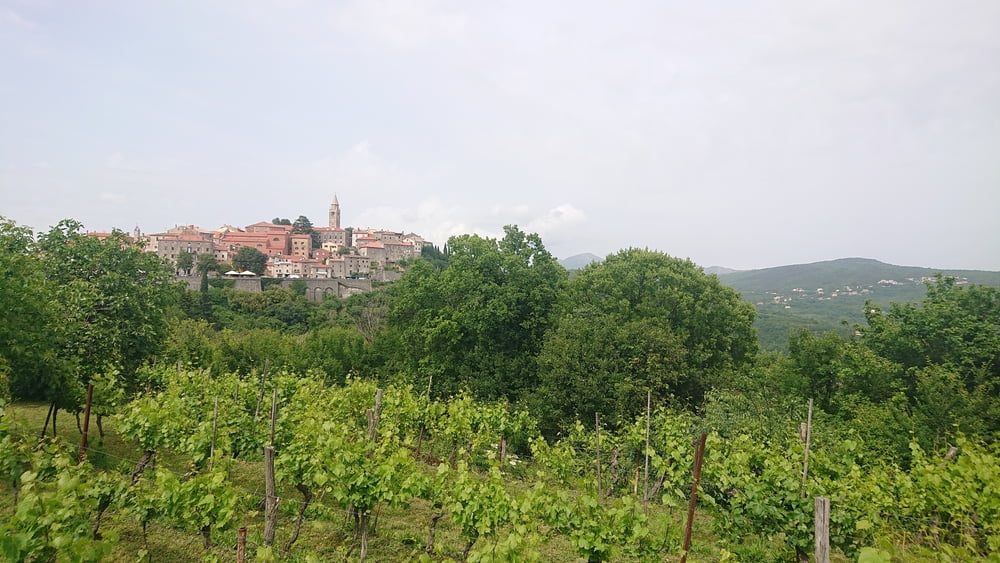
Carte du tour et altitude
Minimum height 230 m
Maximum height 520 m
More about the tour author
|
|
booble9 |
Commentaires

Tracks GPS
Trackpoints-
GPX / Garmin Map Source (gpx) download
-
TCX / Garmin Training Center® (tcx) download
-
CRS / Garmin Training Center® (crs) download
-
Google Earth (kml) download
-
G7ToWin (g7t) download
-
TTQV (trk) download
-
Overlay (ovl) download
-
Fugawi (txt) download
-
Kompass (DAV) Track (tk) download
-
Feuille de tours (pdf) download
-
Original file of the author (gpx) download
More about the tour author
|
|
booble9 |
Add to my favorites
Remove from my favorites
Edit tags
Open track
My score
Rate