


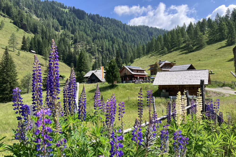
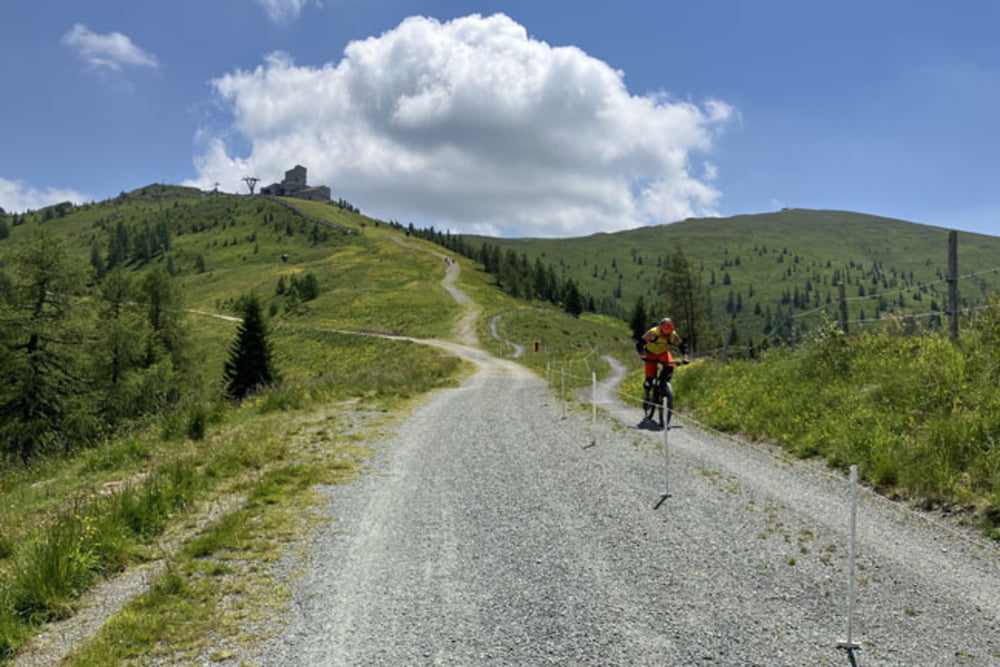
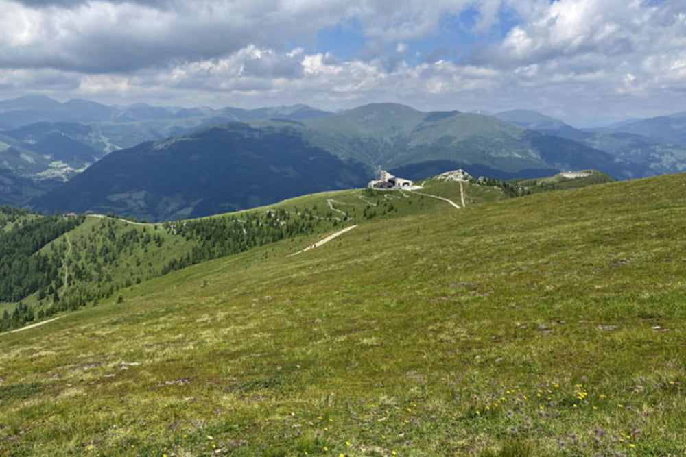
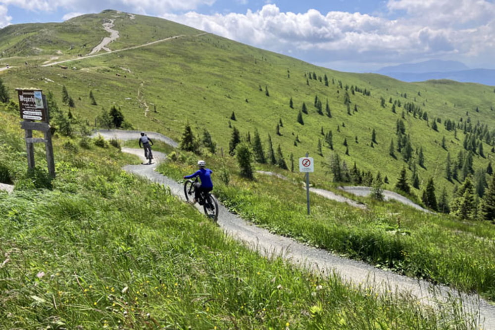
Bad Kleinkirchheim-Lercherhof-Hoeher-Nockbike Tour 08-Feldpannalm runde-Feldpannalm-Maibrunnhuette-Strohsack See (od koče Maibrunn pa skoraj do zgornje postaje žičnice Strohsack uradna pot poteka po smučišču; gre za izredno strm del poti, kjer bo po vsej verjetnosti kolo potrebno potiskati, cca 300m) -Rossalmhuette-Kaiserburg-Woellaner Nock-Kaiserburg-Family Flow Trail (gre za najdaljši kolesarski trail v Evropi, na 15,9 kilometrov dolgem spustu premagamo 968 višincev; zelo zabavno)-Bad Kleinkirchheim
Further information at
https://mtb-itd.si/Einschränkungen
This tour has a carry or push section on 0.3 kilometers
Galerie du tour
Carte du tour et altitude
Minimum height 996 m
Maximum height 2143 m
More about the tour author
|
|
andrejno |
Commentaires

Bad Kleinkirchheim-Lercherhof-Hoeher-Nockbike Tour 08-Feldpannalm runde-Feldpannalm-Maibrunnhuette-Strohsack See-Rossalmhuette-Kaiserburg-Woellaner Nock-Kaiserburg-Family Flow Trail-Bad Kleinkirchheim
Einschränkungen
This tour has a carry or push section on 0.3 kilometers
Tracks GPS
Trackpoints-
GPX / Garmin Map Source (gpx) download
-
TCX / Garmin Training Center® (tcx) download
-
CRS / Garmin Training Center® (crs) download
-
Google Earth (kml) download
-
G7ToWin (g7t) download
-
TTQV (trk) download
-
Overlay (ovl) download
-
Fugawi (txt) download
-
Kompass (DAV) Track (tk) download
-
Feuille de tours (pdf) download
-
Original file of the author (gpx) download
More about the tour author
|
|
andrejno |
Add to my favorites
Remove from my favorites
Edit tags
Open track
My score
Rate