


Hier erwartet euch eine schöne Radtour in der Oberpfalz ;-)
Gestartet bin ich von dem Kostenlosen Parkplatz am Schwimmbad in Rötz (Kostenlos Stand 8/2024). Hier befindet sich auch eine E-Bike Ladestation in Form von 4 abschließbare und kostenlose Boxen.
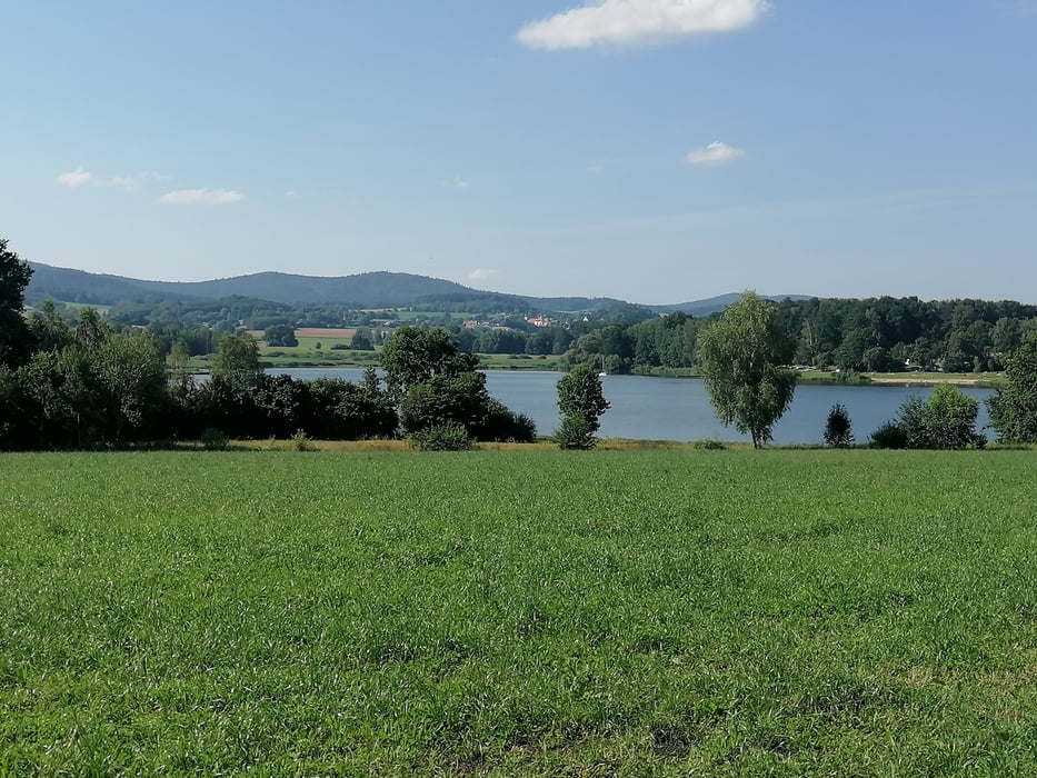
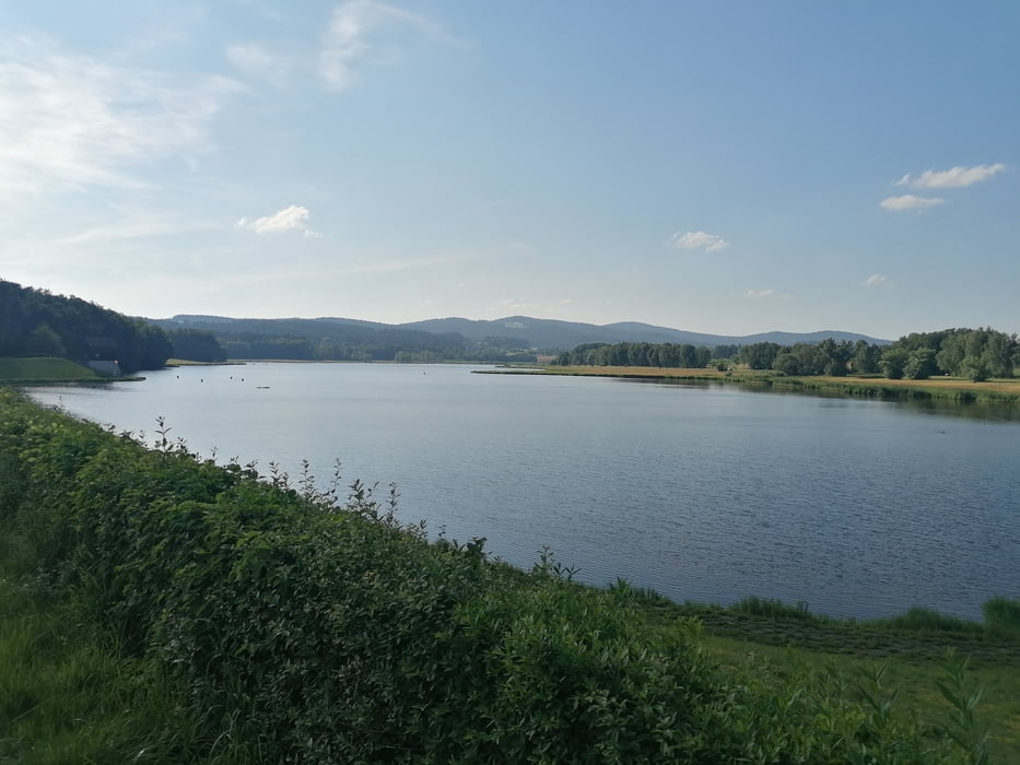
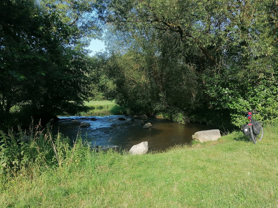
Nun ging es ca dem Verlauf des Schwarzachtal (Fluss) und der Bayrische Schwarzach teilweise über den Goldstieg (Wanderweg) zum Silbersee, einmal drum rum mit einem Strandabstecher ;-))) und der gleicher Richtung aber anderen Wegen wieder zurück zum Ausgangspunkt. Unterwegs habe ich einige Ladestationen für E-Biks in der Tour Markiert.
Achtung! Die 2.55 Std Zeitangabe sind meine reine Fortbewegungszeit gewesen, da es viel auf der Tour zu Erleben gibt sollte man sich genügend Zeit dazurechnen ;-)
PS: Tour ist von allen überflüssigen Wegpunkten bereinigt.
Nun viel Spaß beim Radeln, Wandern und Draußen sein ;-))
Further information at
https://www.roetz.de/Galerie du tour
Carte du tour et altitude
Minimum height 453 m
Maximum height 531 m
More about the tour author
|
|
tret_werk |
Commentaires

Gestartet bin ich von dem Kostenlosen Parkplatz am Schwimmbad in Rötz (Kostenlos Stand 8/2024). Hier befindet sich auch eine E-Bike Ladestation in Form von 4 abschließbare und kostenlose Boxen.
Tracks GPS
Trackpoints-
GPX / Garmin Map Source (gpx) download
-
TCX / Garmin Training Center® (tcx) download
-
CRS / Garmin Training Center® (crs) download
-
Google Earth (kml) download
-
G7ToWin (g7t) download
-
TTQV (trk) download
-
Overlay (ovl) download
-
Fugawi (txt) download
-
Kompass (DAV) Track (tk) download
-
Feuille de tours (pdf) download
-
Original file of the author (gpx) download
More about the tour author
|
|
tret_werk |
Add to my favorites
Remove from my favorites
Edit tags
Open track
My score
Rate