


Zell a.Z.-Hippach-Penkenjoch-Wanglalm-oberhalb Lanersbach-Geiselalm-Geiseljoch-Weidener Hütte-Kolsassberg-Innsbruck
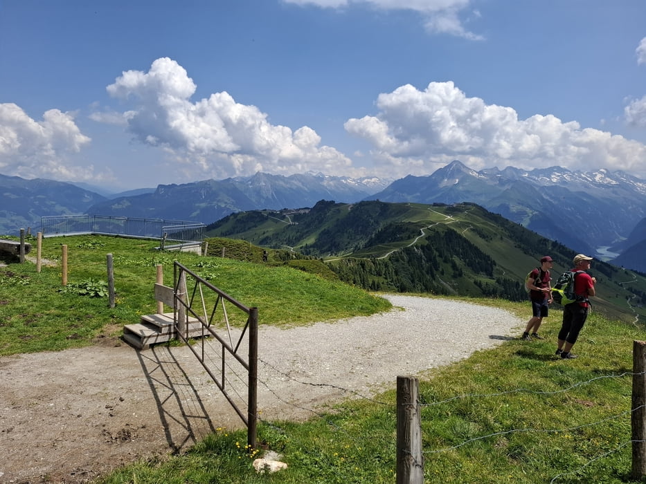
Rauf zum Penkenjoch 16km Asphalt, dann guter Schotter außer die letzten 15', Schiebung, weil zu steil und zu schottrig. Vor der Wanglalm auch noch eine kurze Schiebung.. Runter wieder schöne Schotterpiste, dann Asphalt bis zur Geiselalm.
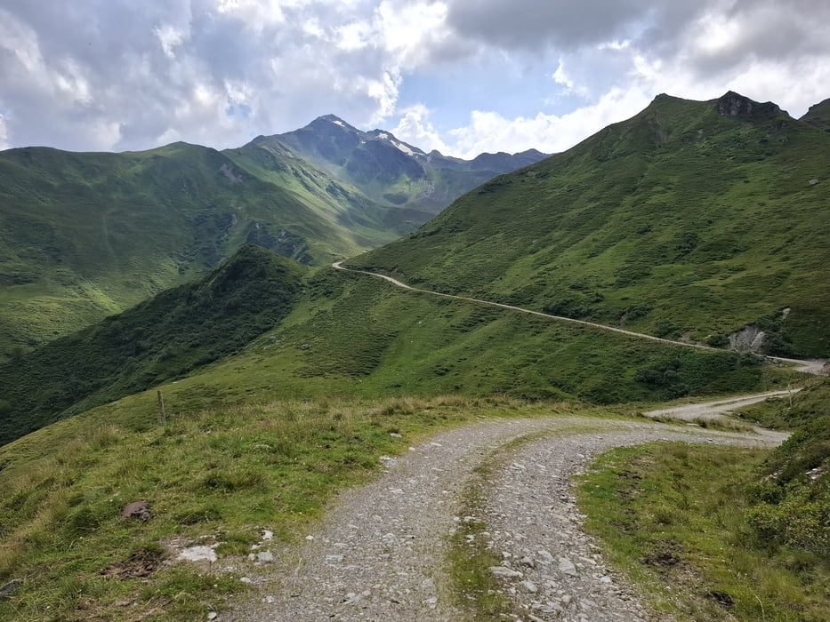
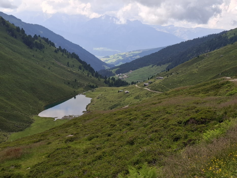
Weiter Schotter mehr oder weniger grob, aber fahrbar. Trail zum Geiseljoch und nachher ca 1,5km, tw fahrbar. Runter zur Weidener Hütte und weiter Rg Kolsass einfach zu fahrende Schotterstraße, zum Ende hin Asphalt.
Kolsass - Wattens Hauptsraße, dann Inntalradweg nach Innsbruck. Schöne, ausgiebige Etappe!
Galerie du tour
Carte du tour et altitude
Minimum height 570 m
Maximum height 2292 m
More about the tour author
|
|
mitter |
Commentaires

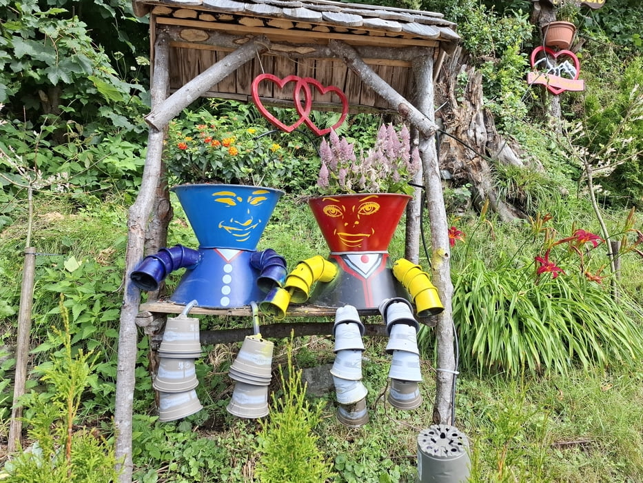
Start in Zell am Ziller, Hotel Strasser.
Tracks GPS
Trackpoints-
GPX / Garmin Map Source (gpx) download
-
TCX / Garmin Training Center® (tcx) download
-
CRS / Garmin Training Center® (crs) download
-
Google Earth (kml) download
-
G7ToWin (g7t) download
-
TTQV (trk) download
-
Overlay (ovl) download
-
Fugawi (txt) download
-
Kompass (DAV) Track (tk) download
-
Feuille de tours (pdf) download
-
Original file of the author (gpx) download
More about the tour author
|
|
mitter |
Add to my favorites
Remove from my favorites
Edit tags
Open track
My score
Rate