


Schruns-Batholomäberg-GH Rellseck-Alplegi-Alpe Latons-Falle-Amas Legi-GH Kristberg-Hasa Hüsli-Silbertal-Schruns
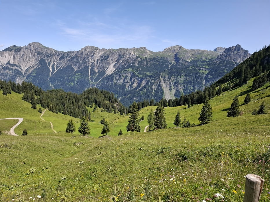
Schöne Runde mit herrlichen Ausblicken auf die Berge des Rätikon und das Lechquellengebirge.
Auffahrt nach Bartholomäberg auf der Straße. Rg Rellseck nehm ich die direktere Variante, anfangs relativ steiler Asphalt, später Schotter, wo auch ein bisschen zu schieben ist. Am GH Rellseck vorbei auf guter Schotterpiste bis zum Alplegi (1820m).
Runter zur Alpe Latons (bewirtschaftet) und dann leicht ansteigender Schotterweg. Bis es dann in einen Fußweg übergeht, der für mich einiges Geschiebe bedeutet ca 30', obwohl relativ eben.
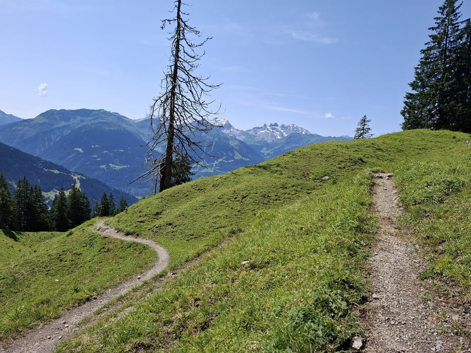
Ab Falle geht ein singletrail zur Foststraße, Amas Legi, ca 1230m. Der singletrail ist großteils fahrbar. Dann Forststraße zum GH Kirstberg (wieder eingekehrt!).Der Rest gemütlich mit noch ca 200hm.
Galerie du tour
Carte du tour et altitude
Minimum height 655 m
Maximum height 1808 m
More about the tour author
|
|
mitter |
Commentaires

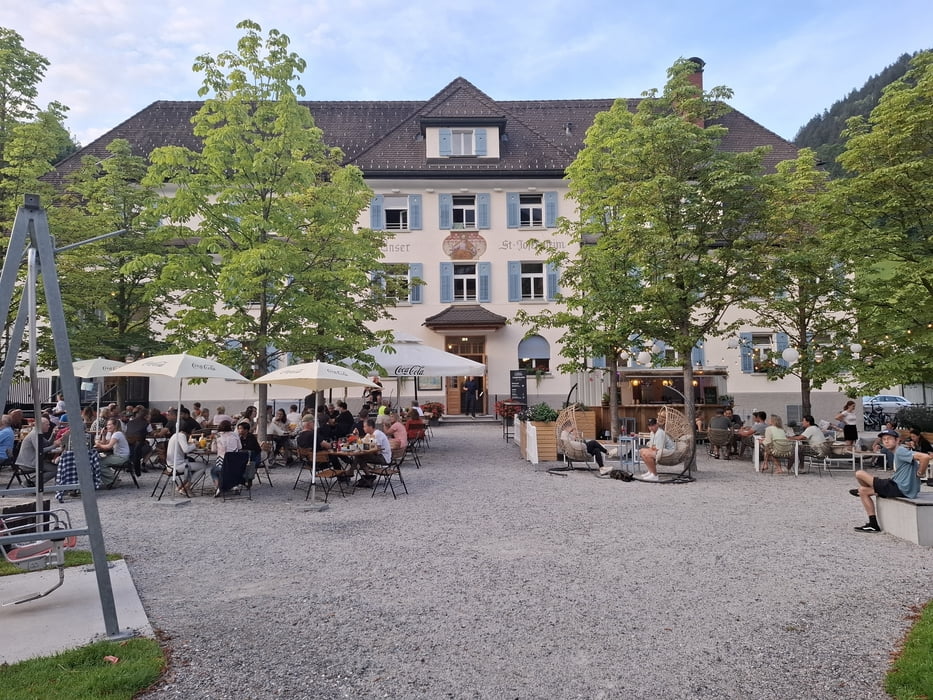
Start in Schruns, St. Josefsheim.
Tracks GPS
Trackpoints-
GPX / Garmin Map Source (gpx) download
-
TCX / Garmin Training Center® (tcx) download
-
CRS / Garmin Training Center® (crs) download
-
Google Earth (kml) download
-
G7ToWin (g7t) download
-
TTQV (trk) download
-
Overlay (ovl) download
-
Fugawi (txt) download
-
Kompass (DAV) Track (tk) download
-
Feuille de tours (pdf) download
-
Original file of the author (gpx) download
More about the tour author
|
|
mitter |
Add to my favorites
Remove from my favorites
Edit tags
Open track
My score
Rate