Pianezzo-Osteria La Peonia-Trail 300hm-San Nicolao-Mendrisio-Capolago-Rancate-Stabio-Serpiano-Monte San Giorgio-Rancate-Mendrisio-Pianezzo
Rauf zur Osteria La Peonia ca 100hm. Da steigen wir in den Trail 300hm runter ein. Leider sehr holprig, aber immerhin fahrbar. Lustig ist was anderes. Ab da nur noch Straße.
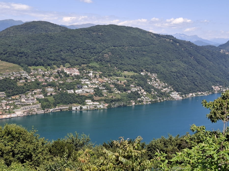
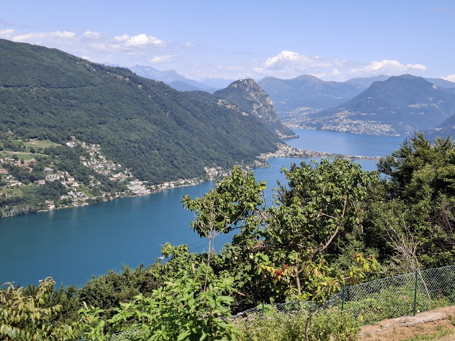
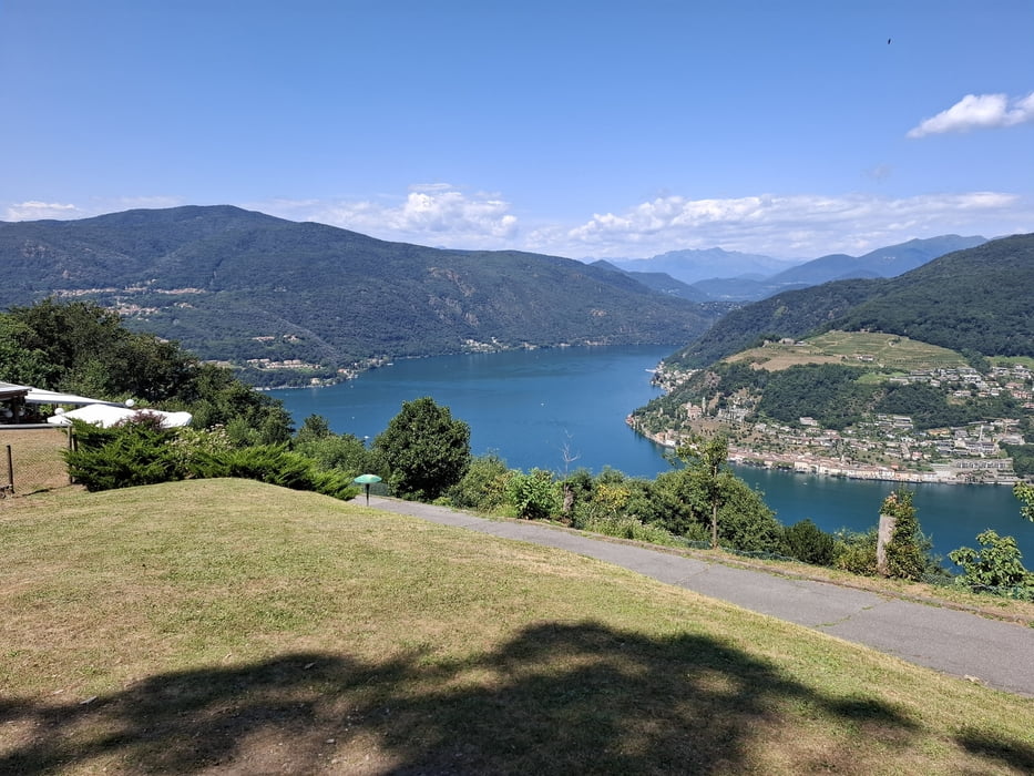
In Serpiano haben wir einen wunderbaren Ausblick auf den Luganer See. Retour über Mendrisio und die Straße rauf nach Pianezzo.
Galerie du tour
Carte du tour et altitude
Minimum height 302 m
Maximum height 1160 m
Commentaires

Start und Ziel in Pianezzo.
Tracks GPS
Trackpoints-
GPX / Garmin Map Source (gpx) download
-
TCX / Garmin Training Center® (tcx) download
-
CRS / Garmin Training Center® (crs) download
-
Google Earth (kml) download
-
G7ToWin (g7t) download
-
TTQV (trk) download
-
Overlay (ovl) download
-
Fugawi (txt) download
-
Kompass (DAV) Track (tk) download
-
Feuille de tours (pdf) download
-
Original file of the author (gpx) download
Add to my favorites
Remove from my favorites
Edit tags
Open track
My score
Rate

