

Vals-Alp Tomül-Tomülpass (2412m)-Turrahus-Safien Platz-Glaspass (1843m)-Tschappina-Thusis-Rhäzüns-Tamins-Chur
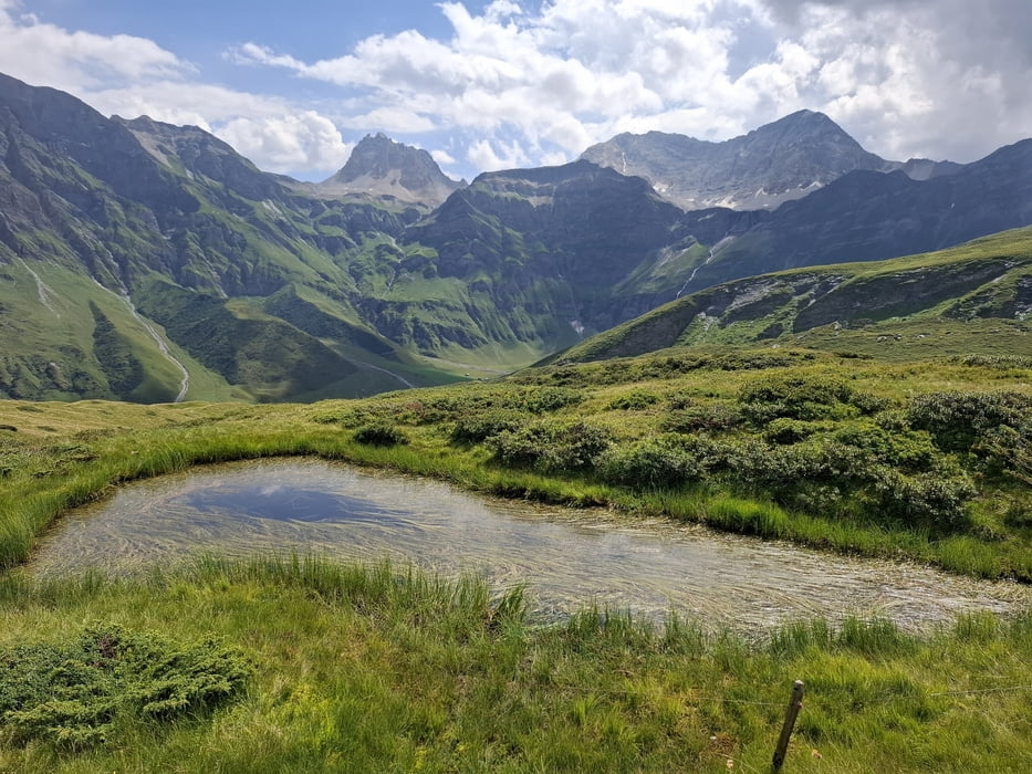
Wieder tolle Etappe! Direkt rauf Rg Tomülpass, Straße und Schotter gut fahrbar. Nach ca 800hm wird’s kniffliger, da ist dann einiges zu schieben. Vor der Alp Tomül beginnt es richtig zu regnen. Die Sennerin lädt mich netterweise zum Unterstehen ein.
Bald geht es weiter Rg Pass, tw schieben. Runter bissl holprig, aber durchaus fahrbar. Da hab ich einen Biker getroffen, der hatte um 11.30 Uhr schon 2000hm in den Beinen… macht ua. bei "Hope 1000" mit… Phu!
Ab Safien Platz beginnt eine steile, aber trotzdem nicht allzu harte Aufschiebung von ca 400hm. 1h. Zum Glaspass hin ist es wieder fahrbar. Da nähert sich das nächste Gewitter, sodass ich auf der Straße ins Tal zische. Der Seitenwind war auch nicht ohne.
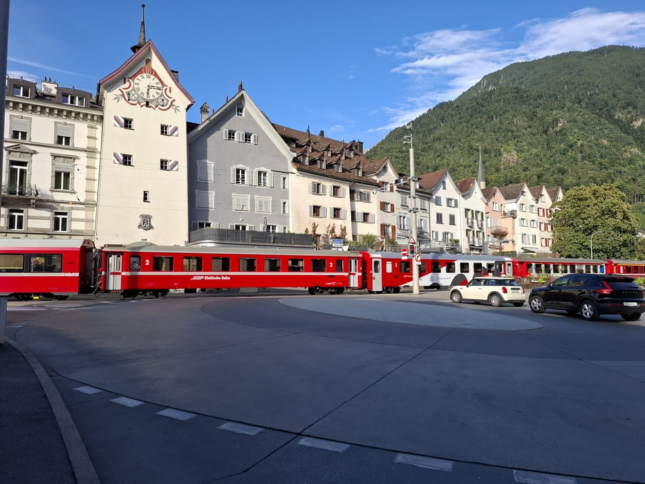
Von Thusis weg meist Radweg. Vor Rhäzüns schöner trail. Ab Tamins schön fallend Radweg nach Chur.
Quartier: Viva Hostel, N 67CHF im 3-er Zimmer allein. Ok. Radkäfig vorhanden.
Galerie du tour
Carte du tour et altitude
Minimum height 607 m
Maximum height 2412 m
More about the tour author
|
|
mitter |
Commentaires

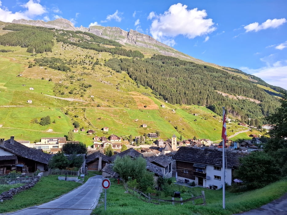
Start in Vals, Hotel Edelweiß
Tracks GPS
Trackpoints-
GPX / Garmin Map Source (gpx) download
-
TCX / Garmin Training Center® (tcx) download
-
CRS / Garmin Training Center® (crs) download
-
Google Earth (kml) download
-
G7ToWin (g7t) download
-
TTQV (trk) download
-
Overlay (ovl) download
-
Fugawi (txt) download
-
Kompass (DAV) Track (tk) download
-
Feuille de tours (pdf) download
-
Original file of the author (gpx) download
More about the tour author
|
|
mitter |
Add to my favorites
Remove from my favorites
Edit tags
Open track
My score
Rate