

Auf dem beschilderten Weg hinauf ins Kettentörl (Hier links ist die Besteigung des Kettentalkogel möglich. Ca 1. Std. hin und zurück).
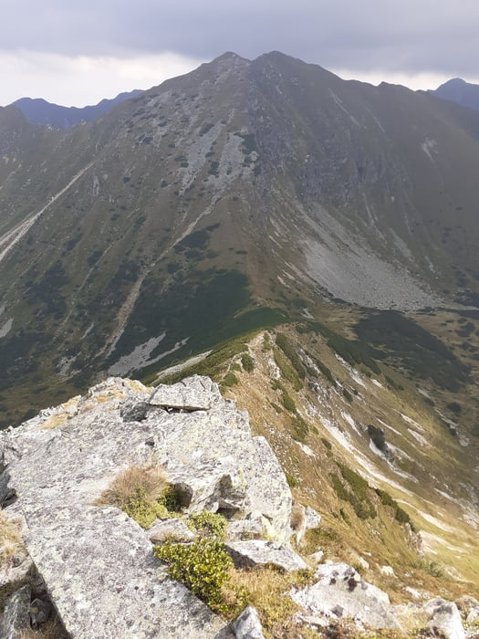
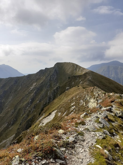
Ansonsten rechts weiter auf dem Grat zum Speikleitenberg. Weiter auf dem aussichtsreichen Grat hinunter zum Krugtörl und hinauf zur Krugkoppe.
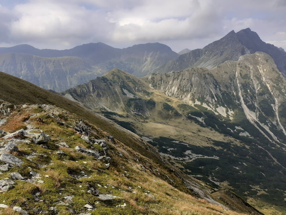
Hinunter zur Pumuckelscharte (Geradeaus weiter geht es in 1/2 Std. hinauf zum Mödringkogel).
Jetzt abwärts durch das sogenannte Paradies zur Mödringalm und weiter zum Parkplatz.
Further information at
https://bergerhube.at/Galerie du tour
Carte du tour et altitude
Minimum height 1240 m
Maximum height 2162 m

Commentaires

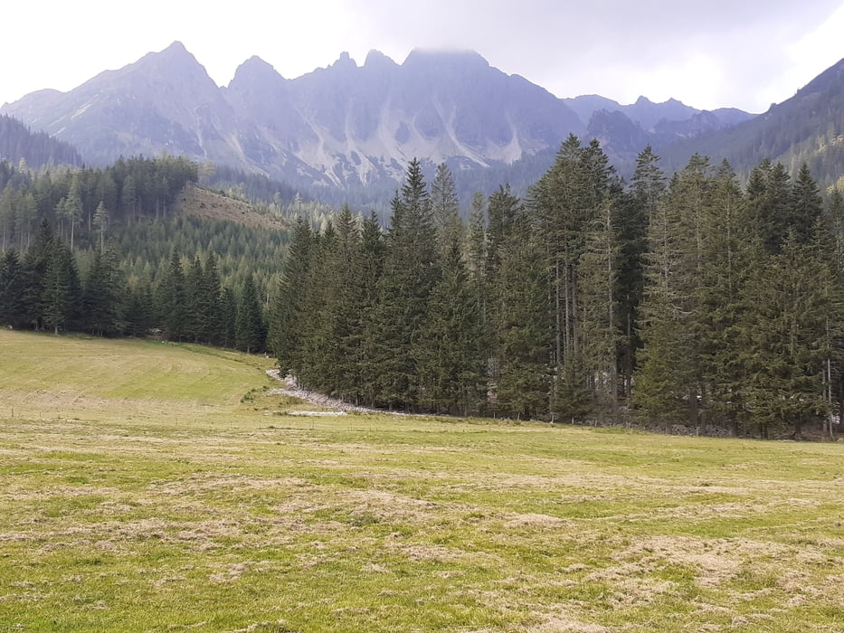
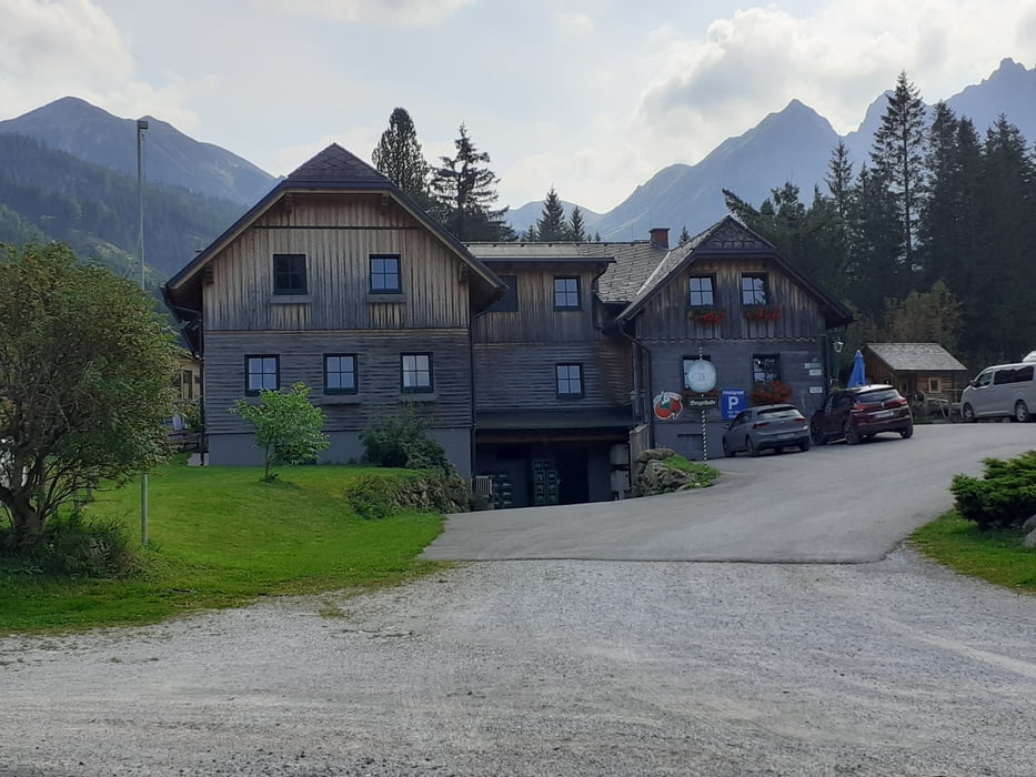
Auf der A9 bis zur Abfahrt Trieben. Durch den Ort Richtung Hohentauern. Bei einer markanten Rechtskurve hinein ins Triebental und weiter bis zum Ende der Fahrstraße bei der Bergerhube.
Tracks GPS
Trackpoints-
GPX / Garmin Map Source (gpx) download
-
TCX / Garmin Training Center® (tcx) download
-
CRS / Garmin Training Center® (crs) download
-
Google Earth (kml) download
-
G7ToWin (g7t) download
-
TTQV (trk) download
-
Overlay (ovl) download
-
Fugawi (txt) download
-
Kompass (DAV) Track (tk) download
-
Feuille de tours (pdf) download
-
Original file of the author (gpx) download
Add to my favorites
Remove from my favorites
Edit tags
Open track
My score
Rate