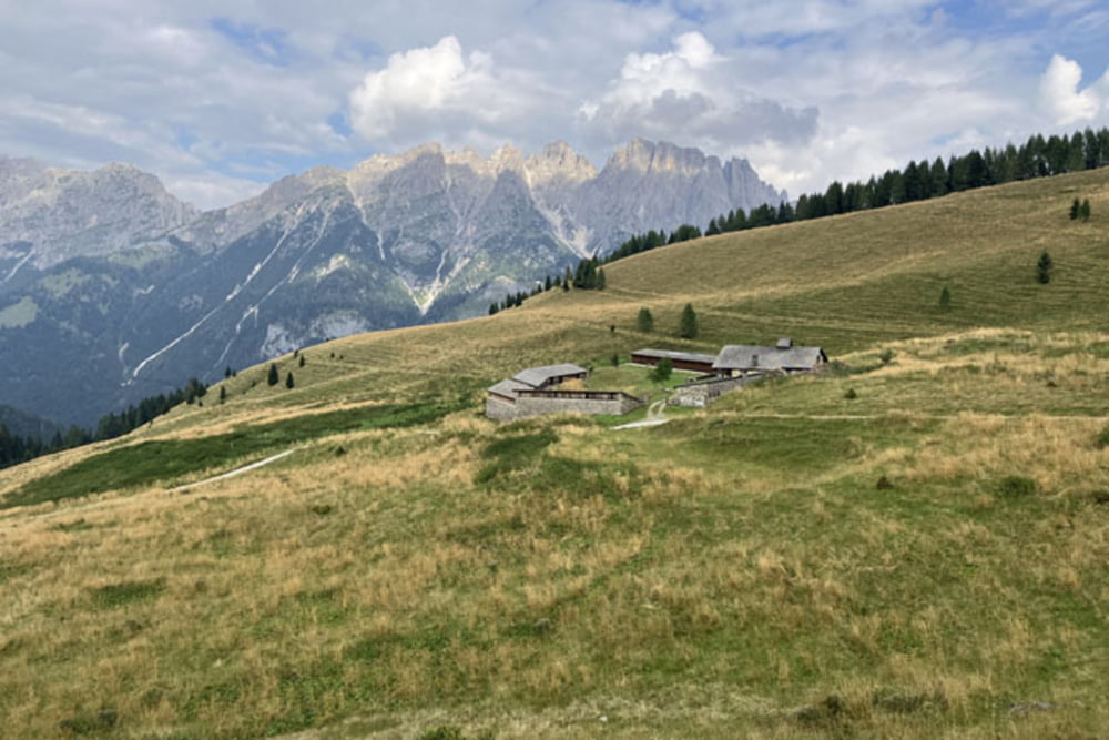
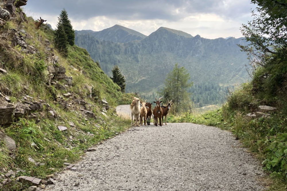
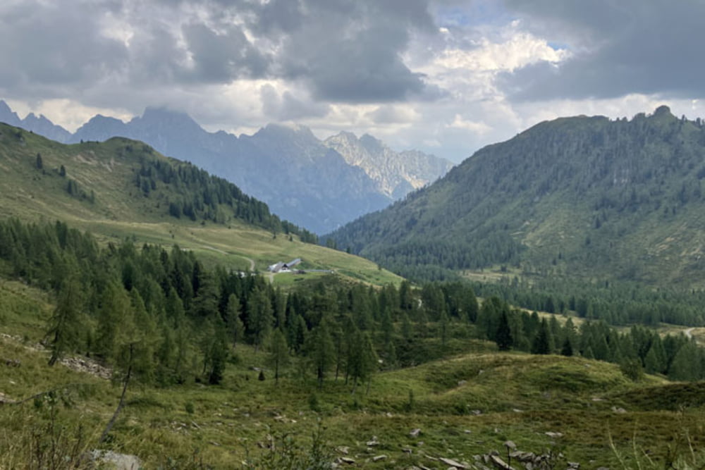
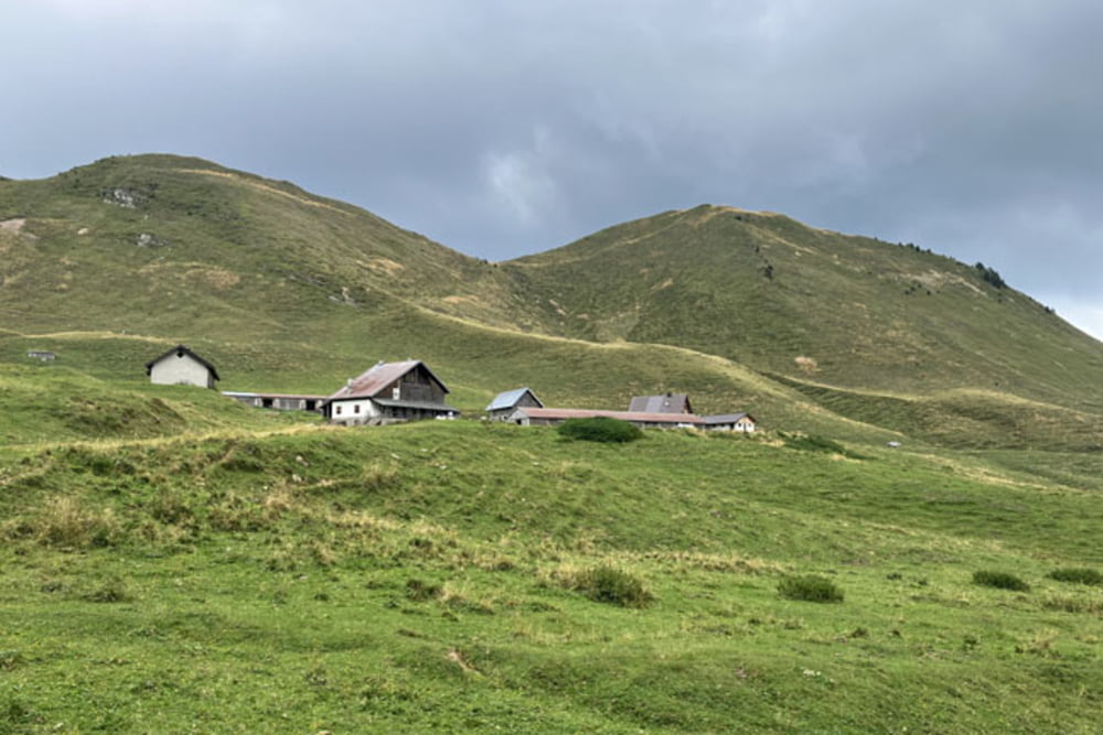
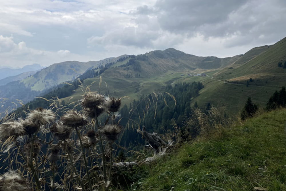
Pesariis-Rio Bianco-Albergo Pradibosco-Sentiero del Codarûl 204a (Cesta, ki se ob hudourniškem potoku Rio Malins vzpenja proti planini Malins je na trenutke izredno strma. Staro z betonom utrjeno cesto je voda mestoma odnesla. Povsod so sicer narejeni obvozi, a neutrjena podlaga na več mestih vožnjo precej otežuje. Morda bi ekstremno pripravljeni kolesarji vzpon v celoti prevozili, mi smo morali žal lkar nekajkrat sestopiti in kolo potiskati)-Malga Malins-Sella Vinadia-Casera Vinadia Grande-Forcella Pieltinis-Casera Pieltinis-Casera Gerona-Casera Losa-Casera Forchia-Passo della Forcella (Spust s sedla Forcella je izjemno strm, v povprečju med 15 in 20%, podlaga je utrjena z betonom. Drugo polovico spusta smo nadaljevali po precej zaraščenem kolovozu, ki je precej bolj položen in v celoti prevozen)-Malga la Montuta-Stali dal Predi-Mione-Luint-Luincis-Croce-Avausa-Prato Carnico-Pieria-Osais-Pesariis
Further information at
https://mtb-itd.si/Einschränkungen
This tour has a carry or push section on 0.5 kilometers
Galerie du tour
Carte du tour et altitude
Minimum height 504 m
Maximum height 1845 m
Commentaires

Pesariis-Rio Bianco-Albergo Pradibosco-Sentiero del Codarûl 204a-Malga Malins-Sella Vinadia-Casera Vinadia Grande-Forcella Pieltinis-Casera Pieltinis-Casera Gerona-Casera Losa-Casera Forchia-Passo della Forcella-Malga la Montuta-Stali dal Predi-Mione-Luint-Luincis-Croce-Avausa-Prato Carnico-Pieria-Osais-Pesariis
Einschränkungen
This tour has a carry or push section on 0.5 kilometers
Tracks GPS
Trackpoints-
GPX / Garmin Map Source (gpx) download
-
TCX / Garmin Training Center® (tcx) download
-
CRS / Garmin Training Center® (crs) download
-
Google Earth (kml) download
-
G7ToWin (g7t) download
-
TTQV (trk) download
-
Overlay (ovl) download
-
Fugawi (txt) download
-
Kompass (DAV) Track (tk) download
-
Feuille de tours (pdf) download
-
Original file of the author (gpx) download
Add to my favorites
Remove from my favorites
Edit tags
Open track
My score
Rate

