


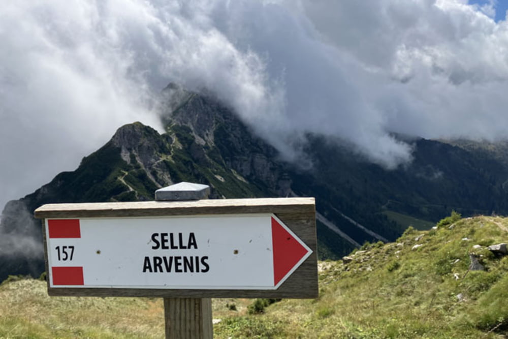
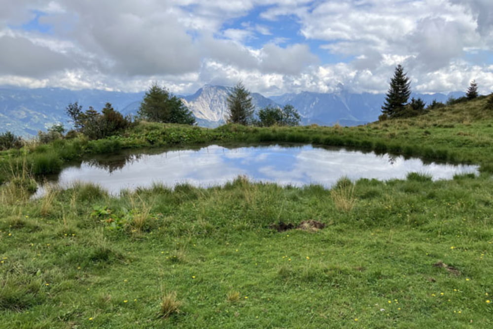
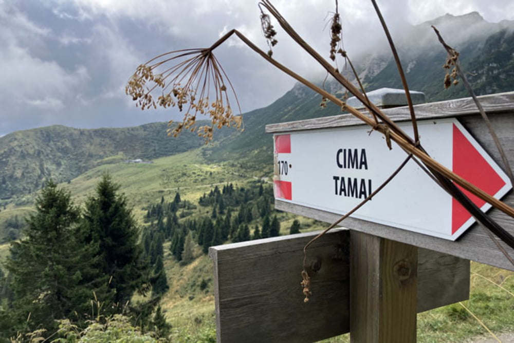
Sutrio-Priola-Stavoli Suart (ozka asfaltna cesta s Priole do izravnave pod Zoncolanom je brutalno strma, povprečen naklon je 14%)-Hotel Enzo Moro-Rifugio Al Cocul-Baita Goles-Sella del Monte Zoncolan-Monte Tamai (nekaj manj kot kilometer vzpona proti vrhu Monte Tamai poteka po vzdrževalni cesti z naklonom okoli 20%; zaradi nesprijete podlage v celoti ni prevozno)-Rifugio Tamai-Malga Tamai-Malga Agareit-Malga Meleit-Forcella Meleit-Malga Dauda-Casera Montutte di Noiariis-Noiariis-Priola-Sutrio
Further information at
https://mtb-itd.si/Galerie du tour

Carte du tour et altitude
Minimum height 589 m
Maximum height 1953 m
More about the tour author
|
|
andrejno |
Commentaires

Sutrio-Priola-Stavoli Suart-Hotel Enzo Moro-Rifugio Al Cocul-Baita Goles-Sella del Monte Zoncolan-Monte Tamai-Rifugio Tamai-Malga Tamai-Malga Agareit-Malga Meleit-Forcella Meleit-Malga Dauda-Casera Montutte di Noiariis-Noiariis-Priola-Sutrio
Tracks GPS
Trackpoints-
GPX / Garmin Map Source (gpx) download
-
TCX / Garmin Training Center® (tcx) download
-
CRS / Garmin Training Center® (crs) download
-
Google Earth (kml) download
-
G7ToWin (g7t) download
-
TTQV (trk) download
-
Overlay (ovl) download
-
Fugawi (txt) download
-
Kompass (DAV) Track (tk) download
-
Feuille de tours (pdf) download
-
Original file of the author (gpx) download
More about the tour author
|
|
andrejno |
Add to my favorites
Remove from my favorites
Edit tags
Open track
My score
Rate