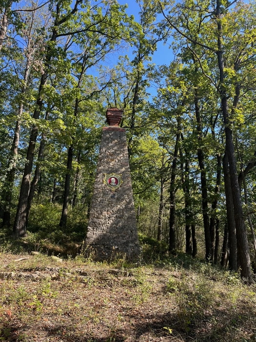
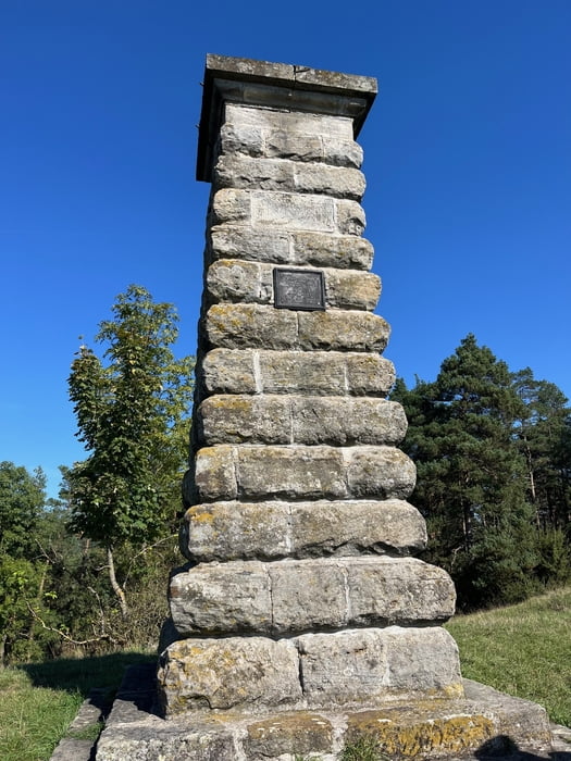
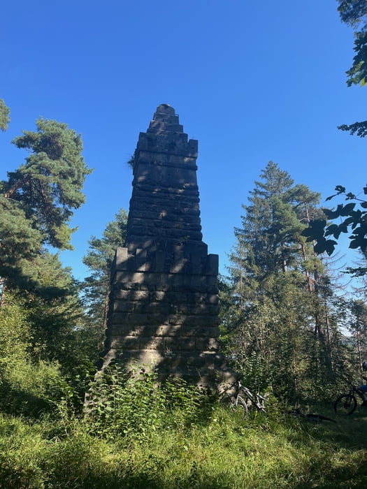
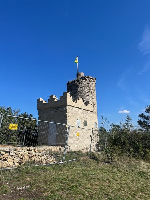
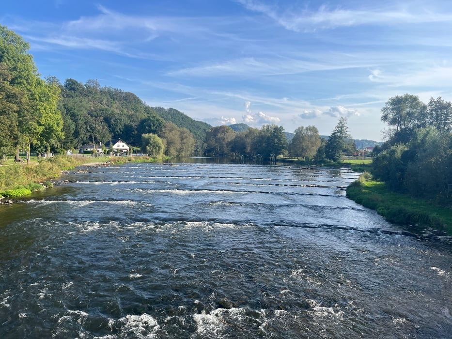
Rundtour nordwestlich von Rudolstadt mit dem Ziel, die drei Bismarckfeuersäulen und den Bismarckturm von Rudolstadt zu besuchen.
Alles in allem eine gut fahrbare Tour. Nur der Auf- und der Abstieg zur Säule in Heilsberg ist technisch und konditionell fordernd.
Galerie du tour
Carte du tour et altitude
Minimum height 193 m
Maximum height 481 m
Commentaires

Start und Ziel der Rundtour waren auf dem Parkplatz am Bahnhof, Kosten 1,00 Euro pro Tag, max 5 Tage.
Tracks GPS
Trackpoints-
GPX / Garmin Map Source (gpx) download
-
TCX / Garmin Training Center® (tcx) download
-
CRS / Garmin Training Center® (crs) download
-
Google Earth (kml) download
-
G7ToWin (g7t) download
-
TTQV (trk) download
-
Overlay (ovl) download
-
Fugawi (txt) download
-
Kompass (DAV) Track (tk) download
-
Feuille de tours (pdf) download
-
Original file of the author (gpx) download
Add to my favorites
Remove from my favorites
Edit tags
Open track
My score
Rate

