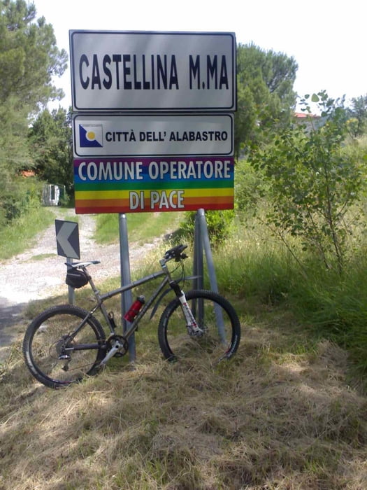
Tour mit zunächst viel Asphalt um CastellinaM.Mare und zum Abschluß die bekannte "Trailrunde ins Hinterland von Cecina", diesmal in abwärts-Richtung. Anfangs leider ein paar Kilometer auf einer SR.. (Strada regionale), die man in Italien eigentlich meiden sollte (besonders am Wochenende), dann aber zweigt man ab in die malerischen toskanischen Hügel und Berge.
Galerie du tour
Carte du tour et altitude
Minimum height 25 m
Maximum height 403 m
Commentaires

Tracks GPS
Trackpoints-
GPX / Garmin Map Source (gpx) download
-
TCX / Garmin Training Center® (tcx) download
-
CRS / Garmin Training Center® (crs) download
-
Google Earth (kml) download
-
G7ToWin (g7t) download
-
TTQV (trk) download
-
Overlay (ovl) download
-
Fugawi (txt) download
-
Kompass (DAV) Track (tk) download
-
Feuille de tours (pdf) download
-
Original file of the author (gpx) download
Add to my favorites
Remove from my favorites
Edit tags
Open track
My score
Rate


