
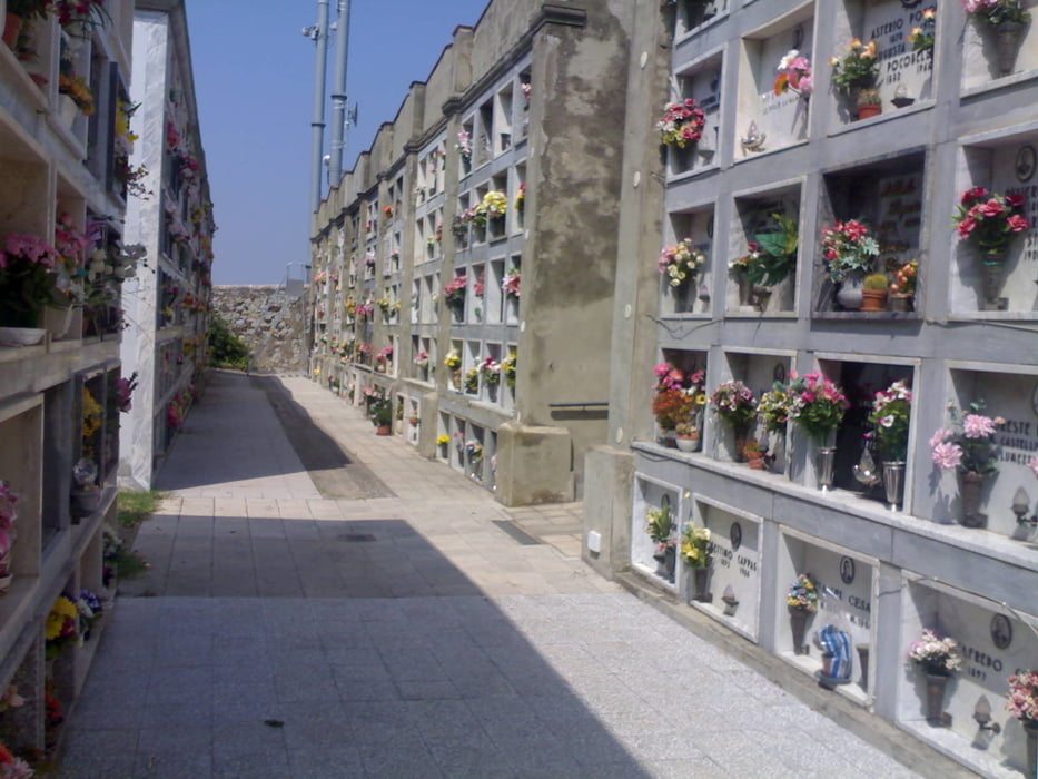

Zunächst wieder hoch nach CastellinaM.Mare, dort den toskanischen Friedhof besichtigt. Weiter passiert man das größte Buddhistenzentrum Italiens. Ansonsten schöne Tour auf der Höhe (390hm) mit abschließendem Single-Trail (s. meine Tour "Trailrunde"). Achtung! Genau dem Track folgen (30m am Garmin einstellen), damit Ihr den Einstieg findet (geht rechts vom Schotterweg ab). Rauskommen werdet ihr beim Agritourismo La Qiete, das sich auch sehr zum Abendessen anbietet (bombastisches Preis-/Leistungsverhältnis).
Galerie du tour


Carte du tour et altitude
Minimum height 24 m
Maximum height 399 m
More about the tour author
|
|
berufsradler |
Commentaires

Tracks GPS
Trackpoints-
GPX / Garmin Map Source (gpx) download
-
TCX / Garmin Training Center® (tcx) download
-
CRS / Garmin Training Center® (crs) download
-
Google Earth (kml) download
-
G7ToWin (g7t) download
-
TTQV (trk) download
-
Overlay (ovl) download
-
Fugawi (txt) download
-
Kompass (DAV) Track (tk) download
-
Feuille de tours (pdf) download
-
Original file of the author (gpx) download
More about the tour author
|
|
berufsradler |
Add to my favorites
Remove from my favorites
Edit tags
Open track
My score
Rate