
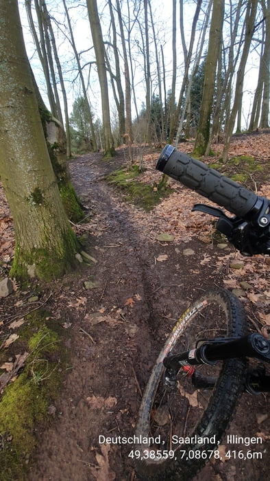

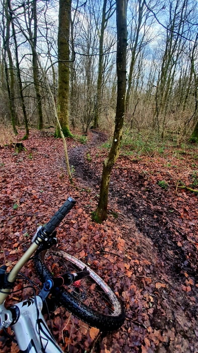
Kleine Trailkontroll Runde, über aufgeweichte und sehr matschige Wege. Es hatte kurz aufgehört zu regnen und die Sonne kam raus. Das musste für ne' kleine Bewegungsrunde genutzt werden.
Galerie du tour

Carte du tour et altitude
Minimum height 333 m
Maximum height 445 m
More about the tour author

|
forest-trailhunter |
Commentaires

Tracks GPS
Trackpoints-
GPX / Garmin Map Source (gpx) download
-
TCX / Garmin Training Center® (tcx) download
-
CRS / Garmin Training Center® (crs) download
-
Google Earth (kml) download
-
G7ToWin (g7t) download
-
TTQV (trk) download
-
Overlay (ovl) download
-
Fugawi (txt) download
-
Kompass (DAV) Track (tk) download
-
Feuille de tours (pdf) download
-
Original file of the author (gpx) download
More about the tour author
|
|
forest-trailhunter |
Add to my favorites
Remove from my favorites
Edit tags
Open track
My score
Rate