Login

Login oublié ?

Cookies have to be accepted!
Your browser's cookie functionality is disabled. Please enable this functionality.

Not a member yet?

Register now
Login

Available for registred users only

Log in to use this feature.

Login oublié ?

Cookies have to be accepted!
Your browser's cookie functionality is disabled. Please enable this functionality.

Not a member yet?

Register now
Filter
Catégories
Advanced filters
  • Longueur (km)
  • Altimètre
Enregistrer le filtre Reset filter

TrackRank

QRCode

Technical data

Longueur27,0 km Altimètre1390 m Way down1365 m Durée07:00 h:m Date12.07.2008
Evaluations Author Paysage Aspect amusement Condition Technique

Statistiques

1959 Vues 1 Evaluation 189 Téléchargements 5.00 Moyenne
Rate
  • Feuille de tours
  • Arrivée
  • Téléchargements
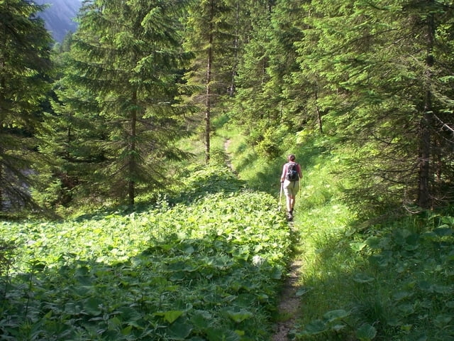
Mit dem Mountainbike fahren wir bis zum dem Punkt, wo wir von Berg runter kommen. Von dort aus geht es über einen Pfad bis zum Delpsee. Von da aus gehen wir in westlicher Richtung zur Tölzer Hütte. Über den Gipfel vom Schafreiter geht es wieder zurück über die Moosenalm zum Ausgangspunkt, wo die Räder stehen. Noch ein kurzer Anstieg auf dem Rückweg und dann rollen wir auch schon zum Parkplatz in Fall.

Galerie du tour

Carte du tour et altitude

  • Open Street Map
  • Google
Minimum height 776 m Maximum height 2096 m Vue de détail

More about the tour author

berndwaegner
Member since 2008

Send private message

Commentaires

Parkplatz Fall am Silvensteinspeicher.

Tracks GPS

Trackpoints
  • GPX / Garmin Map Source (gpx) download
  • TCX / Garmin Training Center® (tcx) download
  • CRS / Garmin Training Center® (crs) download
  • Google Earth (kml) download
  • G7ToWin (g7t) download
  • TTQV (trk) download
  • Overlay (ovl) download
  • Fugawi (txt) download
  • Kompass (DAV) Track (tk) download
  • Feuille de tours (pdf) download
  • Original file of the author (gpx) download

More about the tour author

berndwaegner
Member since 2008

Send private message
Share track
Add to my favorites
Remove from my favorites
Edit tags
My score
Rate
Tour: Bike and Hike auf den Schafreiter
Cat.: Tour en montagne
Longueur: 27,0 km
Evaluated on:
Durée:
Day(s)
Hour(s)
Minute(s)
Evaluation: Paysage Aspect amusement Condition Technique