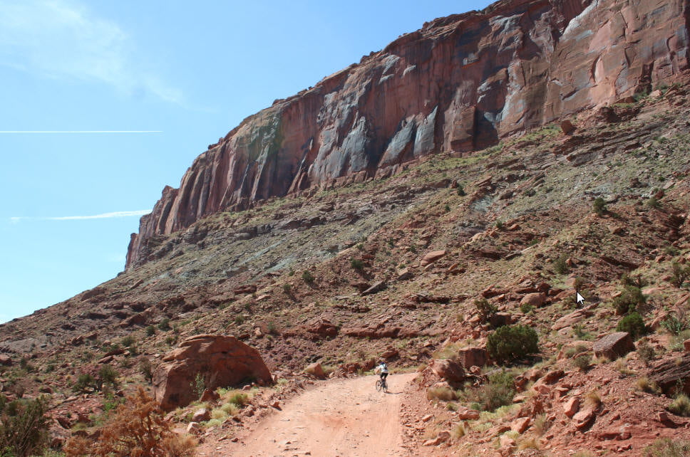
Vom Highway eine Schotterstraße entlang, manchmal etwas tiefer Sand, technisch aber eher "langweilig". Wäre am Ende nicht die "Brücke", hätte ich die Tour garnicht eingestellt.
Aber die Brücke ist echt grandios.
Galerie du tour
Carte du tour et altitude
Minimum height 1391 m
Maximum height 1564 m
Commentaires

Von Moab Richtung Norden, am Parkplatz beim Nachtclub das Auto abstellen und los geht's.
Tracks GPS
Trackpoints-
GPX / Garmin Map Source (gpx) download
-
TCX / Garmin Training Center® (tcx) download
-
CRS / Garmin Training Center® (crs) download
-
Google Earth (kml) download
-
G7ToWin (g7t) download
-
TTQV (trk) download
-
Overlay (ovl) download
-
Fugawi (txt) download
-
Kompass (DAV) Track (tk) download
-
Feuille de tours (pdf) download
-
Original file of the author (gpx) download
Add to my favorites
Remove from my favorites
Edit tags
Open track
My score
Rate


