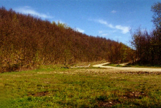
Kleine Trainingsrunde in der Gegend von Brauweiler/Dansweiler. Man fährt fast ausschließlich auf guten Waldwegen. Auf der Höhe sieht man sehr schön die Rekultivierung des Braunkohletagebaus. Hier befindet sich auch eine Reitanlage des bekannten Gestüts Schlenderhahn.
Carte du tour et altitude
Minimum height 37 m
Maximum height 210 m
Commentaires
Start ist in Dansweiler Lindenplatz bzw. Sängerheim (Ortmitte, nicht zu verfehlen).
Tracks GPS
Trackpoints-
GPX / Garmin Map Source (gpx) download
-
TCX / Garmin Training Center® (tcx) download
-
CRS / Garmin Training Center® (crs) download
-
Google Earth (kml) download
-
G7ToWin (g7t) download
-
TTQV (trk) download
-
Overlay (ovl) download
-
Fugawi (txt) download
-
Kompass (DAV) Track (tk) download
-
Feuille de tours (pdf) download
-
Original file of the author (gpx) download
Add to my favorites
Remove from my favorites
Edit tags
Open track
My score
Rate


Danke