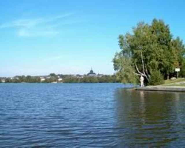
Vom Wanderparkplatz auf den asphaltierten Seerundweg und immer am Ufer entlang um den See herum.
Further information at
http://de.wikipedia.org/wiki/Wei%C3%9FenstadtGalerie du tour
Carte du tour et altitude
Minimum height 556 m
Maximum height 626 m
Commentaires

Die Stadt liegt eingebettet im Tal der Eger zwischen Waldstein, Rudolfstein und Höllpass auf der Hochebene des Fichtelgebirges.
Von der A9
Abfahrt Gefrees, Am Ortsende Gefrees Richtung Weißenstadt, ca. 14 km.
Von der A93
Abfahrt Thiersheim, Richtung Röslau, Am Ortsende Röslau Richtung Weißenstadt, ca. 16 km
Von der A9
Abfahrt Gefrees, Am Ortsende Gefrees Richtung Weißenstadt, ca. 14 km.
Von der A93
Abfahrt Thiersheim, Richtung Röslau, Am Ortsende Röslau Richtung Weißenstadt, ca. 16 km
Tracks GPS
Trackpoints-
GPX / Garmin Map Source (gpx) download
-
TCX / Garmin Training Center® (tcx) download
-
CRS / Garmin Training Center® (crs) download
-
Google Earth (kml) download
-
G7ToWin (g7t) download
-
TTQV (trk) download
-
Overlay (ovl) download
-
Fugawi (txt) download
-
Kompass (DAV) Track (tk) download
-
Feuille de tours (pdf) download
Add to my favorites
Remove from my favorites
Edit tags
Open track
My score
Rate


