Start und Ziel ist Meschede Heinrichsthal
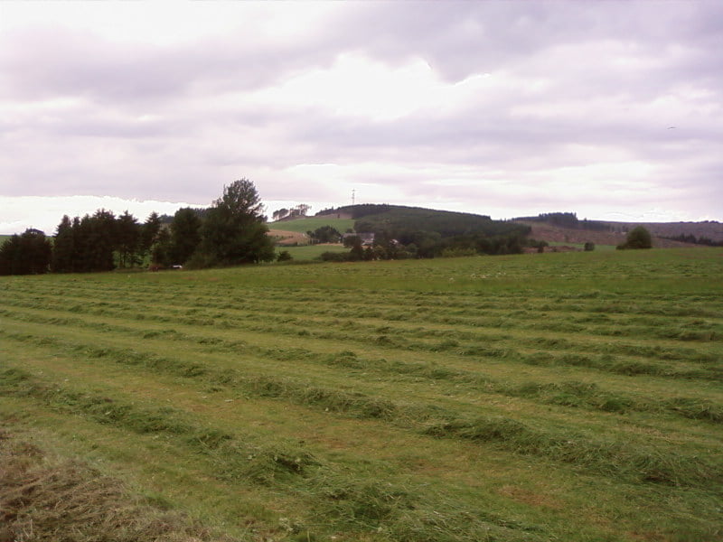
Landschaftlich schöne Tour mit Ausblick auf den Hennesee.
Teilweise führt der Weg über den Mescheder Höhenweg, den mal komplett zu fahren würde sich sicherlich lohnen.
Ps:
Wir fahren immer Mittwochs um 18.00 Uhr vom Enjoy in Meschede-Heinrichsthal und würden uns über neue Biker sehr freuen. Alter spielt da keine Rolle; aber lustig solltest du schon sein!
Carte du tour et altitude
Minimum height 235 m
Maximum height 527 m
Commentaires

Tracks GPS
Trackpoints-
GPX / Garmin Map Source (gpx) download
-
TCX / Garmin Training Center® (tcx) download
-
CRS / Garmin Training Center® (crs) download
-
Google Earth (kml) download
-
G7ToWin (g7t) download
-
TTQV (trk) download
-
Overlay (ovl) download
-
Fugawi (txt) download
-
Kompass (DAV) Track (tk) download
-
Feuille de tours (pdf) download
-
Original file of the author (gpx) download
Add to my favorites
Remove from my favorites
Edit tags
Open track
My score
Rate

