Login

Login oublié ?

Cookies have to be accepted!
Your browser's cookie functionality is disabled. Please enable this functionality.

Not a member yet?

Register now
Login

Available for registred users only

Log in to use this feature.

Login oublié ?

Cookies have to be accepted!
Your browser's cookie functionality is disabled. Please enable this functionality.

Not a member yet?

Register now
Filter
Catégories
Advanced filters
  • Longueur (km)
  • Altimètre
Enregistrer le filtre Reset filter

TrackRank

QRCode

Technical data

Longueur18,2 km Altimètre451 m Way down478 m Durée02:00 h:m Date27.07.2008
Evaluations Author User Paysage Aspect amusement Condition Technique

Statistiques

2011 Vues 2 Evaluations 412 Téléchargements 4.50 Moyenne
Rate
  • Feuille de tours
  • Arrivée
  • Téléchargements

tour im urdonautal von dollnstein nach konstein wellheim und zurück

schöne trails,viel landschaft,einmal gehts um einen umgestürtzten baum

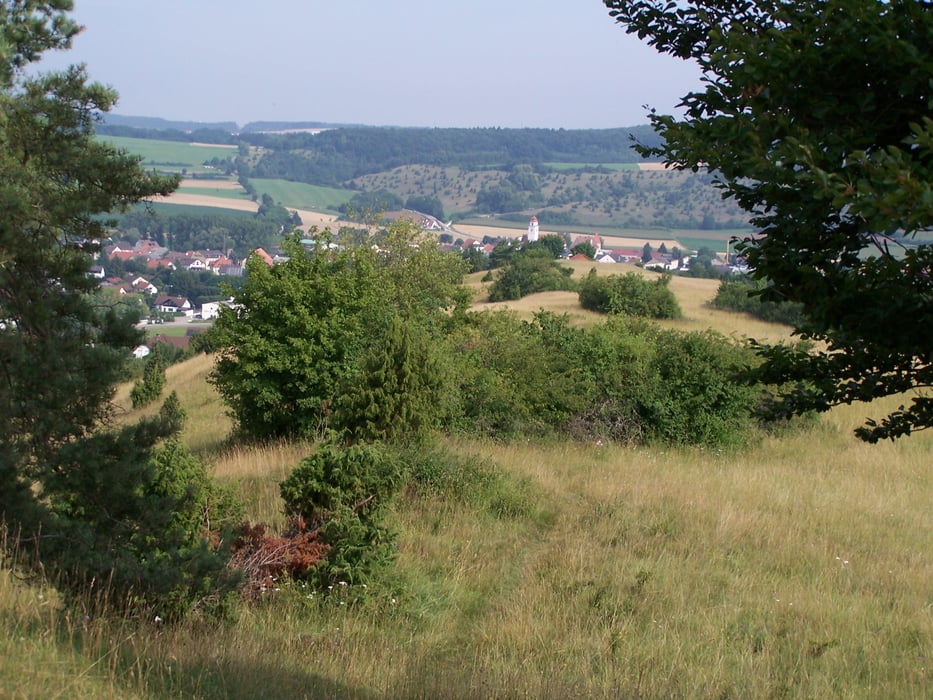
oberhalb von den kletterelsen in aicha geht die tour für biker zu schnell vorbei

viel spaß

Galerie du tour

Carte du tour et altitude

  • Open Street Map
  • Google
Minimum height 399 m Maximum height 545 m Vue de détail

More about the tour author

tomasi
Member since 2008

Send private message

Commentaires

Sun_on_Tour on 28.03.2012

Landschaftlich Top

Landschaftlich sehr schöne Tour auf der man auch noch den einen oder anderen Aussichtspunkt an der Strecke mitnehmen kann. Vielen Dank für`s einstellen.

Danke für deinen Kommentar.
Übrigens "SUN ON TOUR" hört sich gut an.
Gruß Hans

start von der altmühlbrücke in dollnstein

durch den eisenbahntunnel

richting konstein wellheim

Tracks GPS

Trackpoints
  • GPX / Garmin Map Source (gpx) download
  • TCX / Garmin Training Center® (tcx) download
  • CRS / Garmin Training Center® (crs) download
  • Google Earth (kml) download
  • G7ToWin (g7t) download
  • TTQV (trk) download
  • Overlay (ovl) download
  • Fugawi (txt) download
  • Kompass (DAV) Track (tk) download
  • Feuille de tours (pdf) download
  • Original file of the author (gpx) download

More about the tour author

tomasi
Member since 2008

Send private message
Share track
Add to my favorites
Remove from my favorites
Edit tags
My score
Rate
Tour: altmühltal panoramaweg schlaufe 11,dollnstein
Cat.: Mountainbike
Longueur: 18,2 km
Evaluated on:
Durée:
Day(s)
Hour(s)
Minute(s)
Evaluation: Paysage Aspect amusement Condition Technique