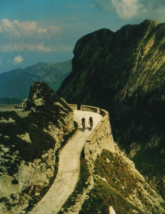
in tende geht es erstmal auf der D6204 nach norden richtung col de tende. hinter vievola können wir dann nach kurz die straße verlassen und die alte pass-straße bis kurz vorm einstieg in die tende südrampe nutzen. und dann heißt serpentine für serpentine rauf zum col di tende. oben angekommen kann man dann erstmal das fort central unter die lupe nehmen und dann gehts los auf den ligurischen grenzkamm. und ab jetzt gehts rund, denn der technisch und konditionell einfache teil liegt hinter uns. die geröllige piste ist selbst beim downhill sehr kräfteraubend! Am col della perla geht’s vorbei zur kehre am colle dell boaria. Dann geht’s über den colle dei signori weiter zum passo tanarello zum basso di sansone und dann gehst downhill über den col linaire bis la brigue
nachdem wir in la brigue angekommen sind, heißt es jetzt nur noch auf teer ausrollen :) erstmal geht es richtung la-saint-dalmas-de-tende und hier folgen wir dann wieder der D6204 nach norden bis wir tende erreichen! ein traum hammer tour! einsame landschaften, keine hütten, sehr schwere wege und drastische wetter stürze prägten die tour! der südlich teil vom ligurischen grenzkamm bis nach ventimiglia am mittelmeer haben wir am nächsten tag gemacht!
Further information at
http://www.hegibiketours.deGalerie du tour
Carte du tour et altitude
Commentaires

Tracks GPS
Trackpoints-
GPX / Garmin Map Source (gpx) download
-
TCX / Garmin Training Center® (tcx) download
-
CRS / Garmin Training Center® (crs) download
-
Google Earth (kml) download
-
G7ToWin (g7t) download
-
TTQV (trk) download
-
Overlay (ovl) download
-
Fugawi (txt) download
-
Kompass (DAV) Track (tk) download
-
Feuille de tours (pdf) download
-
Original file of the author (gpx) download


