


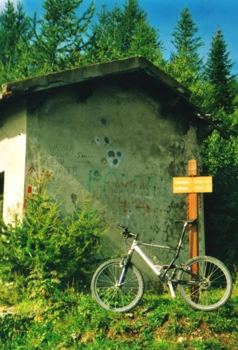
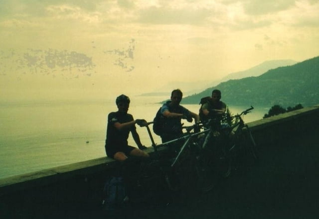
von tende gehts auf der D6204 richtung süden bis la-saint-dalmas-de-tende. kurz vorm ort gehts dann links weg nach la brigue. In la brigue geht’s durchs vallon du ru sec und dann geht’s uphill über den col linaire hoch zum ligurischen grenzkamm. Jetzt geht’s auf nach süden zum mittelmeer. Über die porta bertrand geht’s zum passo della valetta. zwischen dem gola dell' incisa und dem passo muratone gibts auch noch eine längere schiebepasage!!! weiter gehts zur testa d'alpe und zum colla sgora und dann zum passo del cane. Und langsam kommt auch das mittelmeer in sicht und dann sind wir auch schon in ventimiglia. Und das verdiente bad im mittelmeer mit bierchen am strand waren die belohnung!
Further information at
http://www.hegibiketours.deGalerie du tour
Carte du tour et altitude
Minimum height 1 m
Maximum height 1972 m
More about the tour author
|
|
hegi |
Commentaires

JEANNOT
on 14.07.2009
Tende à Vintimille 72km
Start ist Tende aum Ende des Val Roya!
Tracks GPS
Trackpoints-
GPX / Garmin Map Source (gpx) download
-
TCX / Garmin Training Center® (tcx) download
-
CRS / Garmin Training Center® (crs) download
-
Google Earth (kml) download
-
G7ToWin (g7t) download
-
TTQV (trk) download
-
Overlay (ovl) download
-
Fugawi (txt) download
-
Kompass (DAV) Track (tk) download
-
Feuille de tours (pdf) download
-
Original file of the author (gpx) download
More about the tour author
|
|
hegi |
Add to my favorites
Remove from my favorites
Edit tags
Open track
My score
Rate