Login

Login oublié ?

Cookies have to be accepted!
Your browser's cookie functionality is disabled. Please enable this functionality.

Not a member yet?

Register now
Login

Available for registred users only

Log in to use this feature.

Login oublié ?

Cookies have to be accepted!
Your browser's cookie functionality is disabled. Please enable this functionality.

Not a member yet?

Register now
Filter
Catégories
Advanced filters
  • Longueur (km)
  • Altimètre
Enregistrer le filtre Reset filter

TrackRank

QRCode

Technical data

Longueur68,1 km Altimètre1594 m Way down1462 m Durée00:00 h:m Date04.08.2008
Evaluations Author Paysage Aspect amusement Condition Technique

Statistiques

900 Vues Evaluations 237 Téléchargements Moyenne
Rate
  • Feuille de tours
  • Arrivée
  • Téléchargements
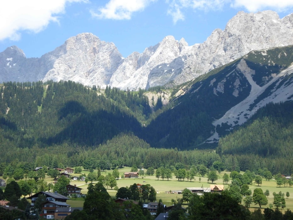
3. Tag der Dachsteinrunde von Gröbming wieder zurück zum Ausgangspunkt nach Annaberg mit einer Fahrt durch die wunderschöne Ramsau.

Galerie du tour

Carte du tour et altitude

  • Open Street Map
  • Google
Minimum height 680 m Maximum height 1319 m Vue de détail

More about the tour author

seng
Member since 2008

Send private message

Commentaires

Pepo59 on 22.03.2009

Danke!!

Vielen Dank Robert für die Tour, werde ich mit meiner Fau im Juli ausprobieren!
MFG Peter (Pepo59)

Tracks GPS

Trackpoints
  • GPX / Garmin Map Source (gpx) download
  • TCX / Garmin Training Center® (tcx) download
  • CRS / Garmin Training Center® (crs) download
  • Google Earth (kml) download
  • G7ToWin (g7t) download
  • TTQV (trk) download
  • Overlay (ovl) download
  • Fugawi (txt) download
  • Kompass (DAV) Track (tk) download
  • Feuille de tours (pdf) download
  • Original file of the author (gpx) download

More about the tour author

seng
Member since 2008

Send private message
Share track
Add to my favorites
Remove from my favorites
Edit tags
My score
Rate
Tour: Dachsteinrunde Gröbming - Annaberg
Cat.: Mountainbike
Longueur: 68,1 km
Evaluated on:
Durée:
Day(s)
Hour(s)
Minute(s)
Evaluation: Paysage Aspect amusement Condition Technique