Login

Login oublié ?

Cookies have to be accepted!
Your browser's cookie functionality is disabled. Please enable this functionality.

Not a member yet?

Register now
Login

Available for registred users only

Log in to use this feature.

Login oublié ?

Cookies have to be accepted!
Your browser's cookie functionality is disabled. Please enable this functionality.

Not a member yet?

Register now
Filter
Catégories
Advanced filters
  • Longueur (km)
  • Altimètre
Enregistrer le filtre Reset filter

TrackRank

QRCode

Technical data

Longueur27,4 km Altimètre1678 m Way down18 m Durée02:00 h:m Date11.08.2008
Evaluations Author Paysage Aspect amusement Condition Technique

Statistiques

3671 Vues 1 Evaluation 280 Téléchargements 4.00 Moyenne
Rate
  • Feuille de tours
  • Arrivée
  • Téléchargements

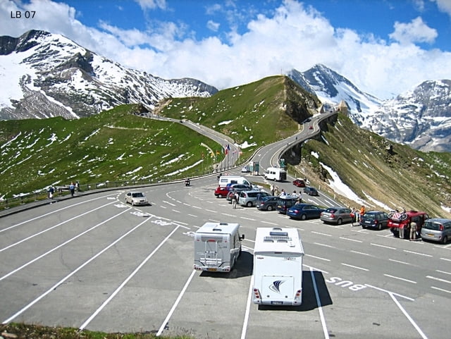
Die Radtour von Bruck an der Glocknerstraße hinauf zum Fuschertörl ist eine schwere Alpenetappe auf einer der schönsten und bekanntestenPaßstraßen in Österreich. Von Bruck an der Glocknerstraße beginnend geht es die ersten 10 Kilometer relativ flach dahin, bis es dann 17 km lang nur mehr bergauf geht und die Steigungen bis zu 12% betragen.

Weitere Infos und Fotos findest du auf

biketours4you.at


Carte du tour et altitude

  • Open Street Map
  • Google
Minimum height 758 m Maximum height 2431 m Vue de détail

More about the tour author

Trek1400d
Member since 2008

Send private message

Commentaires

Tracks GPS

Trackpoints
  • GPX / Garmin Map Source (gpx) download
  • TCX / Garmin Training Center® (tcx) download
  • CRS / Garmin Training Center® (crs) download
  • Google Earth (kml) download
  • G7ToWin (g7t) download
  • TTQV (trk) download
  • Overlay (ovl) download
  • Fugawi (txt) download
  • Kompass (DAV) Track (tk) download
  • Feuille de tours (pdf) download
  • Original file of the author (gpx) download

More about the tour author

Trek1400d
Member since 2008

Send private message
Share track
Add to my favorites
Remove from my favorites
Edit tags
My score
Rate
Tour: Fuschertörl Radtour - Großglockner Hochalpenstraße
Cat.: Vélo de course
Longueur: 27,4 km
Evaluated on:
Durée:
Day(s)
Hour(s)
Minute(s)
Evaluation: Paysage Aspect amusement Condition Technique