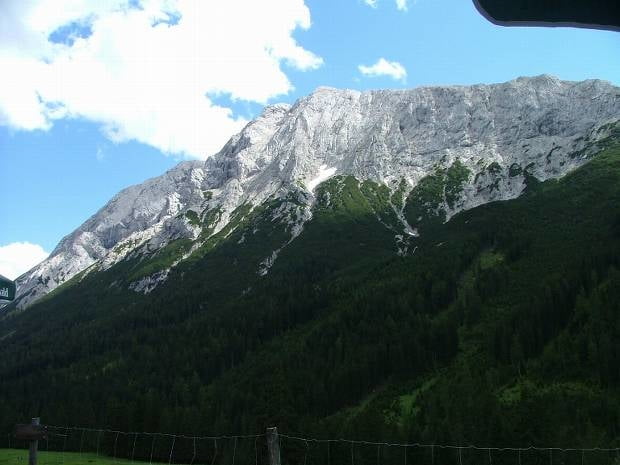
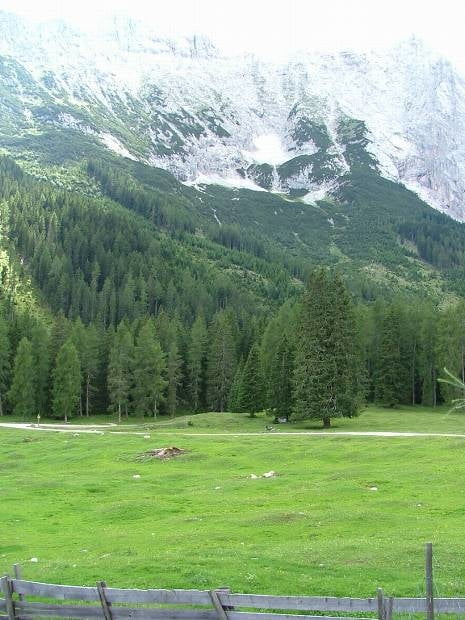
Vom Liftparkplatz (Moos) starten wir in Richtung Gaistal. Nachdem wir die Brücke überquert haben, fahren wir immer den Forstweg bis zur Gaistalalm entlang. Kurz nach der Brücke muss man ein etwas steileres (aber für normale Radfahrer leicht zu bewältigen) Stück überwinden - anschließend flach bis leicht ansteigender Weg - ideale Familientour mit traumhafter Landschaft.
Galerie du tour
Carte du tour et altitude
Commentaires

A12 (Inntalautobahn) - Ausfahrt Zirl / Kematen / Seefeld - über den Zirler Berg bis Seefeld - weiter über Möser, Bairach und Buchen bis Moos - wir parken auf einem Liftparkplatz, der jedoch außer Betrieb ist
Alternativ wäre die Anfahrt über Telfs.
Tracks GPS
Trackpoints-
GPX / Garmin Map Source (gpx) download
-
TCX / Garmin Training Center® (tcx) download
-
CRS / Garmin Training Center® (crs) download
-
Google Earth (kml) download
-
G7ToWin (g7t) download
-
TTQV (trk) download
-
Overlay (ovl) download
-
Fugawi (txt) download
-
Kompass (DAV) Track (tk) download
-
Feuille de tours (pdf) download
-
Original file of the author (gpx) download


