


Tour aus Mountainbike 05/06 Seite 167: "Zum Peiterkofel" Dort mit 32,2 km und 1.600 m angegeben.
Beschreibung Mountainbike: "Außergewöhnlich schöne Tour hoch hinauf zum Kreuzkofeljoch (2340m), entlang der Südostflanke des mächtigen Peitlerkofels zum Gönajoch (2111) und auf tollen, anspruchsvollen Trails zurück nach San Martino (St. Martin). Eindeutig eine der lohnensten Touren der Region, sowohl was Panorama, Trailreichtung und Asphaltarmut angeht"
Kann man nur bestätigen.
Ausgangspunkt: Parkpaltz unter der Kirche von Sankt Martin.
Hinweis 1: Der Track hat am Ende einen falschen Abstecher in eine Sackgasse und etwas mehr Asphaltanteil wie die Originalroute der Zeitschrift Mountainbike.
Hinweis 2: Tour mit zwei Schiebe- und einer Tragepassage. Die letzte Abfahrt auf San Martino (Weg Nr. 9) nur für sehr geübte Fahrer- und Fahrerinnen zu empfehlen. Es benötigt teilweise auch Schwindelfreiheit und ist bei Nässe nicht zu empfehlen. Man kann diesen Bereich aber leicht umfahren.
HInweis 3: Einkehrmöglichkeiten"Malga Furcia" (ca. km 16) oder Schlüterhütte (ca. km. 19)
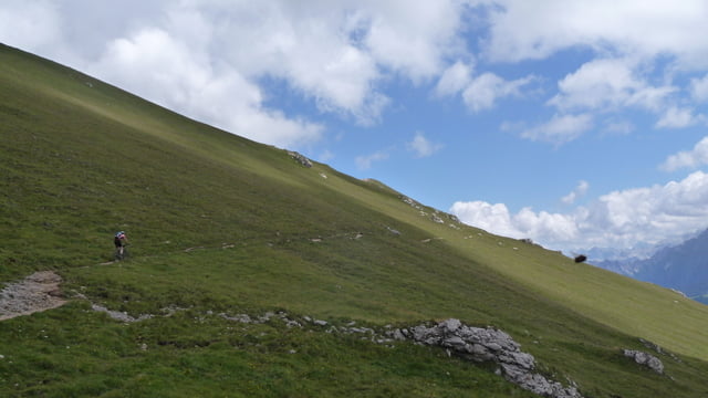
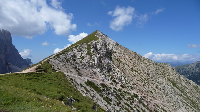
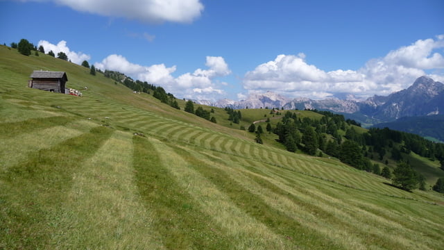
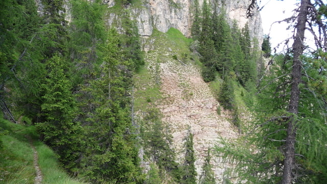
Galerie du tour
Carte du tour et altitude
Minimum height 1115 m
Maximum height 2427 m
More about the tour author

|
habicht117 |
Commentaires

Brenner, Ausfahrt Brixen, Richtugn Alta Badia, Parkplatz unter der Kirche von San Martin.
Tracks GPS
Trackpoints-
GPX / Garmin Map Source (gpx) download
-
TCX / Garmin Training Center® (tcx) download
-
CRS / Garmin Training Center® (crs) download
-
Google Earth (kml) download
-
G7ToWin (g7t) download
-
TTQV (trk) download
-
Overlay (ovl) download
-
Fugawi (txt) download
-
Kompass (DAV) Track (tk) download
-
Feuille de tours (pdf) download
-
Original file of the author (gpx) download
More about the tour author
|
|
habicht117 |
Add to my favorites
Remove from my favorites
Edit tags
Open track
My score
Rate