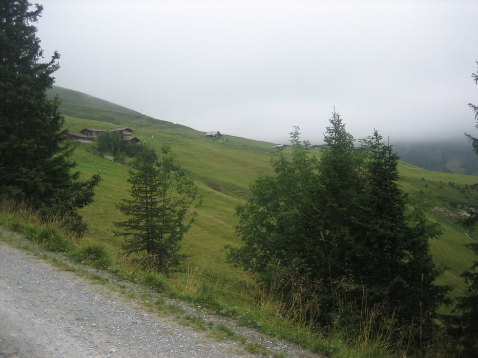
Start am Parkplatz bei der Schloßalmbahn, über Lafen ins Angertal (Schizentrum), weiter zu den Gadauner Hochalmen.
Kurze Abfahrt-Weggabelung Rockfeldalm, knackiger Anstieg zur Rockfeldalm-
Abfahrt bis Weggabelung Richtung Schloßalm, ca. 600hm bergauf zur Bergstation Schloßalmbahn. Herrlicher Ausblick ins Gasteinertal!
Danach 1200hm Abfahrt über Funtner Heimalm zum Ausgangspunkt
Galerie du tour
Carte du tour et altitude
Minimum height 826 m
Maximum height 2069 m
Commentaires

Gasteinertalstr.-bis Parkplatz Schloßalmbahn
Tracks GPS
Trackpoints-
GPX / Garmin Map Source (gpx) download
-
TCX / Garmin Training Center® (tcx) download
-
CRS / Garmin Training Center® (crs) download
-
Google Earth (kml) download
-
G7ToWin (g7t) download
-
TTQV (trk) download
-
Overlay (ovl) download
-
Fugawi (txt) download
-
Kompass (DAV) Track (tk) download
-
Feuille de tours (pdf) download
-
Original file of the author (gpx) download
Add to my favorites
Remove from my favorites
Edit tags
Open track
My score
Rate


