


Die Tour folgt von Schöneck (Vogtland) bis Altenberg der ausgeschilderten Kammtour durchs Erzgebirge. Von Altenberg bis Königstein verläuft sie auf zumeist wenig befahrenen Strassen und folgt anschließend dem Elbtalradweg durchs Elbsandsteingebirge bis Dresden.
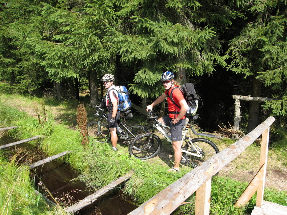
Die Tour habe ich so geplant, daß sie mit etwas Kondition gut in 3 Tagen fahrbar ist. Da die Route zumeist auf Waldwegen verläuft ist sie auch von technisch weniger versierten Bikern gut machbar.
Tag 1: Schöneck (Vogtland) - Mühlleithen - Steinbach - Erlabrunn - Oberwiesenthal (ca. 78 km; ca. 1.700 Hm)
Tag 2: Oberwiesenthal - Bärenstein - Jöhstadt - Schmalzgrube - Satzung - Reitzenhain - Rübenau - Olbernhau - Seiffen (ca. 87 km; ca. 1.500 Hm)
Als Alternative kann nach Reitzenhain anstatt dem Trail entlang dem Grünen Graben auch der Radweg entlang der Schwarzen Pockau genommen werden.
Tag 3: Seiffen - Neuhausen - Sayda - Clausnitz - Altenberg - Geising - Lauenstein - Liebenau - Breitenau - Hellendorf - Bielatal - Königstein - Rathen - Pirna - Dresden (ca. 126 km; ca. 1.600 hm)
Further information at
http://www.erzgebirge.de/Galerie du tour


Carte du tour et altitude
Minimum height 109 m
Maximum height 1134 m
More about the tour author

|
Womble |
Commentaires

sascha44
on 30.08.2008
nächstes Jahr ...bestimmt
radlerin001
on 08.07.2009
wunderschöne tour, aber man kann die tourendaten ja gar nicht downloaden... :-(
Tracks GPS
Trackpoints-
GPX / Garmin Map Source (gpx) download
-
TCX / Garmin Training Center® (tcx) download
-
CRS / Garmin Training Center® (crs) download
-
Google Earth (kml) download
-
G7ToWin (g7t) download
-
TTQV (trk) download
-
Overlay (ovl) download
-
Fugawi (txt) download
-
Kompass (DAV) Track (tk) download
-
Feuille de tours (pdf) download
-
Original file of the author (gpx) download
More about the tour author
|
|
Womble |
Add to my favorites
Remove from my favorites
Edit tags
Open track
My score
Rate