Login

Login oublié ?

Cookies have to be accepted!
Your browser's cookie functionality is disabled. Please enable this functionality.

Not a member yet?

Register now
Login

Available for registred users only

Log in to use this feature.

Login oublié ?

Cookies have to be accepted!
Your browser's cookie functionality is disabled. Please enable this functionality.

Not a member yet?

Register now
Filter
Catégories
Advanced filters
  • Longueur (km)
  • Altimètre
Enregistrer le filtre Reset filter

TrackRank

QRCode

Technical data

Longueur57,5 km Altimètre625 m Way down720 m Durée04:30 h:m Date23.08.2008
Evaluations Author Paysage Aspect amusement Condition Technique

Statistiques

717 Vues 1 Evaluation 48 Téléchargements 4.00 Moyenne
Rate
  • Feuille de tours
  • Arrivée
  • Téléchargements
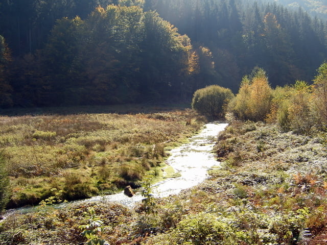
Landschaftlich schöne Tour die anfangs durch das Schwazbachtal führt. Mittlerer Aufstieg in die Höhe südlich von Johanneskreuz. Auf einer alten Hochstraße zum Forsthaus Taubensuhl, 1. Einkehmöglichkeit. Weiter in der Höhe zum Fortshaus Heldenstein, 2. Einkehrmöglichkeit. Von dort lange und schöne Abfaht durch das Modenbachthal nach Edesheim.

Galerie du tour

Carte du tour et altitude

  • Open Street Map
  • Google
Minimum height 150 m Maximum height 551 m Vue de détail

More about the tour author

WeidhaasHJ
Member since 2007

Send private message

Commentaires

cindyrolli on 02.06.2012

Tour am 01.06.2012

Wir sind die Tour in Umkehr ab FH-Heldenstein gefahren. Sie ist landschaftlich außerordentlich reizvoll und intelligent von der Wegführung. Kompliment! Schade ist, daß z.Z. vor und nach FH Taubensuhl große Teile der Höhenstraße neu, grob geschottert wurden, was den Genuss schmälert.

Am besten mit der Bahn von Edesheim nach Pirmasens Nord. Dort startet die Tour.

Tracks GPS

Trackpoints
  • GPX / Garmin Map Source (gpx) download
  • TCX / Garmin Training Center® (tcx) download
  • CRS / Garmin Training Center® (crs) download
  • Google Earth (kml) download
  • G7ToWin (g7t) download
  • TTQV (trk) download
  • Overlay (ovl) download
  • Fugawi (txt) download
  • Kompass (DAV) Track (tk) download
  • Feuille de tours (pdf) download
  • Original file of the author (gpx) download

More about the tour author

WeidhaasHJ
Member since 2007

Send private message
Share track
Add to my favorites
Remove from my favorites
Edit tags
My score
Rate
Tour: Von Pirmasens nach Edesheim quer durch den Pfäzer Wald
Cat.: Trekkingbike
Longueur: 57,5 km
Evaluated on:
Durée:
Day(s)
Hour(s)
Minute(s)
Evaluation: Paysage Aspect amusement Condition Technique