


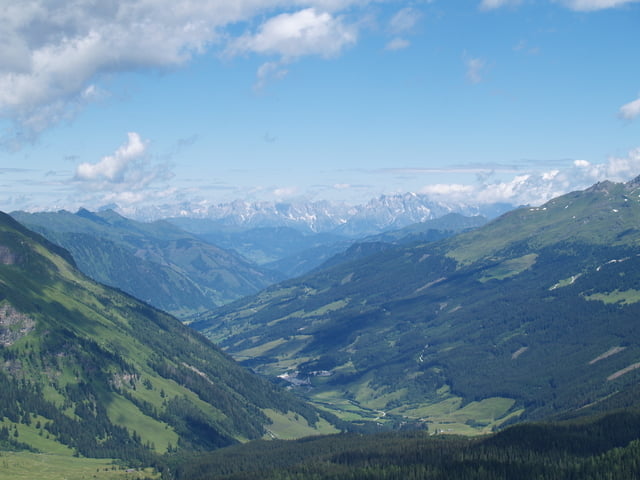
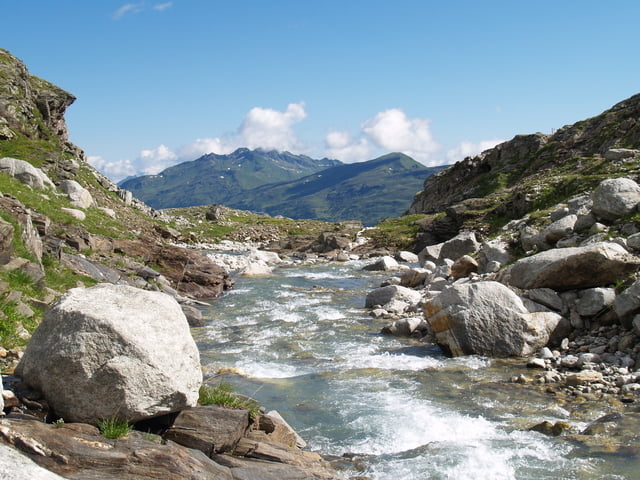
Eine sehr schöne Wander,Bergtour in der Goldbergruppe (Hohe Tauern).
Zu sehen gibt es hier genug nicht nur die schöne Landschaft sondern auch, die Spuren des Erzabbaus im 19. Jahrhundert. Zuerst geht es hinauf zur Almhütte Neubau. Von dort kann man dann einen Rundweg folgen und sich auf die Spuren von Erzabau begeben. Von der Alm aus kann man auch zum Zilerhaus auf 3016 Hm bekannt als Hoher Sonnenblick aufsteigen.
Der Track lässt sich in beide Richtungen gehen.
Galerie du tour

Carte du tour et altitude
Minimum height 1571 m
Maximum height 2337 m
More about the tour author
|
|
stefaneickhoff |
Commentaires

Tracks GPS
Trackpoints-
GPX / Garmin Map Source (gpx) download
-
TCX / Garmin Training Center® (tcx) download
-
CRS / Garmin Training Center® (crs) download
-
Google Earth (kml) download
-
G7ToWin (g7t) download
-
TTQV (trk) download
-
Overlay (ovl) download
-
Fugawi (txt) download
-
Kompass (DAV) Track (tk) download
-
Feuille de tours (pdf) download
-
Original file of the author (gpx) download
More about the tour author
|
|
stefaneickhoff |
Add to my favorites
Remove from my favorites
Edit tags
Open track
My score
Rate