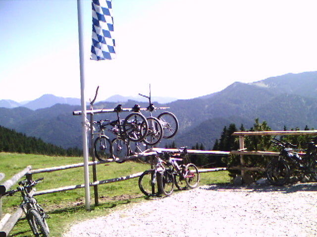
Leicht zu gehende Tour. Der Weg führt nur auf Forstwegen. Die Zeit ist mit Einkehr auf der Aueralm angegeben. Reine Gehzeit max. 2h. Immer wieder schöne Aussicht von der Aueralm auf die Tegernseer Berge.
Further information at
http://www.aueralm.de/tegernsee/bad_wiessee/alm/aueralm/aueralm.htmGalerie du tour
Carte du tour et altitude
Minimum height 578 m
Maximum height 1266 m
Commentaires

Über die A8 bis Wayarn und dann über die B318 bis nach Bad Wiessee. Im Ort gehts mal rechts ab Richtung Sonnbichl und Söllbachtal.
Tracks GPS
Trackpoints-
GPX / Garmin Map Source (gpx) download
-
TCX / Garmin Training Center® (tcx) download
-
CRS / Garmin Training Center® (crs) download
-
Google Earth (kml) download
-
G7ToWin (g7t) download
-
TTQV (trk) download
-
Overlay (ovl) download
-
Fugawi (txt) download
-
Kompass (DAV) Track (tk) download
-
Feuille de tours (pdf) download
-
Original file of the author (gpx) download
Add to my favorites
Remove from my favorites
Edit tags
Open track
My score
Rate


