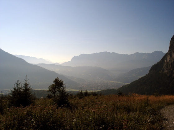
Die Tour ist ein absolutes Highlight im Ammergebirge. Sie ist relativ kurz, dafür bietet sie knackige Uphills, eine traumhafte fast schon kitschige anmutende Alm samt Wirtschaft und dahinter eine durchaus anspruchsvolle Trailabfahrt mit engen Spitzkehren und ein paar groben Steinbrocken darin. Der Rest ist geschmeidiges Rollen vorbei am Kloster Ettal auf breiten Forstpisten.
Further information at
http://www.stollenknacken.deGalerie du tour
Carte du tour et altitude
Minimum height 99999 m
Maximum height -99999 m
Commentaires
Wanderparkplatz am Ende der Felderkopfstraße in Burgrain (am Ende eine Schotterpiste)
Tracks GPS
Trackpoints-
GPX / Garmin Map Source (gpx) download
-
TCX / Garmin Training Center® (tcx) download
-
CRS / Garmin Training Center® (crs) download
-
Google Earth (kml) download
-
G7ToWin (g7t) download
-
TTQV (trk) download
-
Overlay (ovl) download
-
Fugawi (txt) download
-
Kompass (DAV) Track (tk) download
-
Feuille de tours (pdf) download
-
Original file of the author (gpx) download
Add to my favorites
Remove from my favorites
Edit tags
Open track
My score
Rate


Moser 2/24
Duplikat zu #5631