Kurze Tour mit vielen Hm
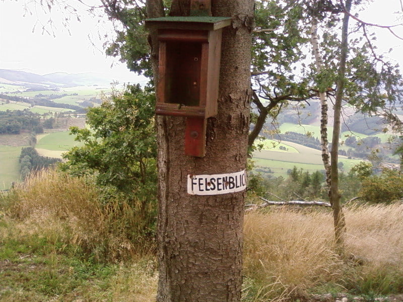
Der Weg am Felsenblick ist leider nicht mehr fahrbar, lohnt sich aber auf jeden Fall
Galerie du tour
Carte du tour et altitude
Minimum height 266 m
Maximum height 598 m
Commentaires
Tracks GPS
Trackpoints-
GPX / Garmin Map Source (gpx) download
-
TCX / Garmin Training Center® (tcx) download
-
CRS / Garmin Training Center® (crs) download
-
Google Earth (kml) download
-
G7ToWin (g7t) download
-
TTQV (trk) download
-
Overlay (ovl) download
-
Fugawi (txt) download
-
Kompass (DAV) Track (tk) download
-
Feuille de tours (pdf) download
-
Original file of the author (gpx) download
Add to my favorites
Remove from my favorites
Edit tags
Open track
My score
Rate


Felsenblick
Danke ! Super Ausblick....
Ich dachte,ich kenne schon fast alles um Remblinghausen herum!?!?
Aber diesen tollen Aussichtspunkt habe ich erst durch deinen GPS-Track gefunden!
Danke............
Gruß Tom