


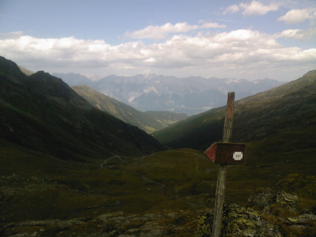
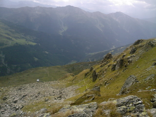
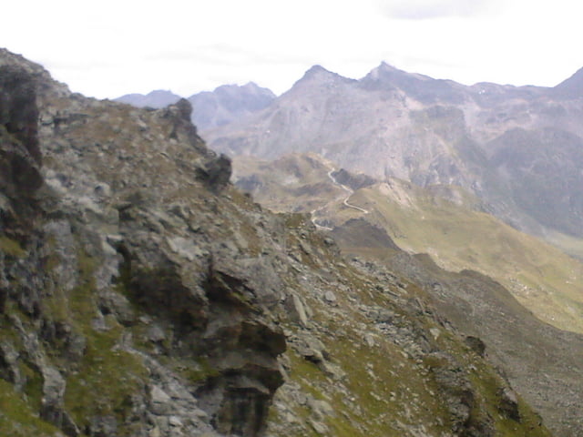
Von Innsbruck aus übers ostl. mittelgebirge ins Voldertal weiter bis über Steinkasern zu den Melkböden. die strecke hat keine 2 -3 steilere passagen für nen guten biker leicht in ca 3 std zu bewältigen. von da aus muß das rad geschultert werden. einen immersteiler werdenden steig entlang bis zum naviser jöchl. hier hat man einen super ausblick. einen ebenso steilen steig ins navistal runter bis zu einer Alm bei der der weg wieder fahrbar wird. trage bzw schiebestrecke : 1,5 std. über die peeralm runter, das navistal raus und auf der römerstraße nach Innsbruck zurück
Galerie du tour

Carte du tour et altitude
Minimum height 567 m
Maximum height 2480 m
More about the tour author
|
|
tomi |
Commentaires

Tracks GPS
Trackpoints-
GPX / Garmin Map Source (gpx) download
-
TCX / Garmin Training Center® (tcx) download
-
CRS / Garmin Training Center® (crs) download
-
Google Earth (kml) download
-
G7ToWin (g7t) download
-
TTQV (trk) download
-
Overlay (ovl) download
-
Fugawi (txt) download
-
Kompass (DAV) Track (tk) download
-
Feuille de tours (pdf) download
-
Original file of the author (gpx) download
More about the tour author
|
|
tomi |
Add to my favorites
Remove from my favorites
Edit tags
Open track
My score
Rate