


Verlauf:
Kreuth - Raineralmweg - Grenzübergang - Bairachbach - Kaiserklamm - Adlerweg - Steinberg - Alter Steinbergweg - Achenkirch
Beschreibung:
Die Tour ist ohne technische Herausforderungen. Bis auf eine kurze Schiebepassage am Grenzübergang ist si durchweg fahrbar. Anstrengend ist die Auffahrt am Adlerweg.
Highlights sind die Fahrt entlang des Bairachbachs (vor allem auch der kurze Trail kurz vor der Grenze), sowie die Panoramablicke entlang des Adlerwes und des Alten Steinbergwegs.
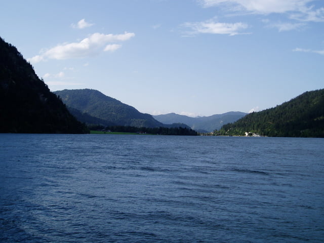
Galerie du tour


Carte du tour et altitude
Minimum height 693 m
Maximum height 1069 m
More about the tour author

|
broken.frame |
Commentaires

Tracks GPS
Trackpoints-
GPX / Garmin Map Source (gpx) download
-
TCX / Garmin Training Center® (tcx) download
-
CRS / Garmin Training Center® (crs) download
-
Google Earth (kml) download
-
G7ToWin (g7t) download
-
TTQV (trk) download
-
Overlay (ovl) download
-
Fugawi (txt) download
-
Kompass (DAV) Track (tk) download
-
Feuille de tours (pdf) download
-
Original file of the author (gpx) download
More about the tour author
|
|
broken.frame |
Add to my favorites
Remove from my favorites
Edit tags
Open track
My score
Rate