


Die Tour bewegt sich in der Vorrhön nördlich von Bad Kissingen. Sie folgt teilweise dem Hochrhöner. Da sie manchmal durch Ortschafen und teilweise an der Fahrstraße entlang führt, wird die Bewertung etwas eingeschränkt.
Die Tour wurde mit Hilfe des exzellenten Wanderroutenplaners zusammengestellt. Der anhängende Lind verweist dort hin.
Further information at
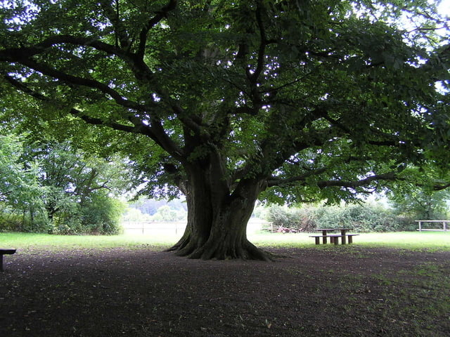
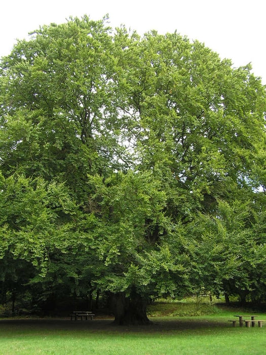
http://www.regioausflug.de/Galerie du tour


Carte du tour et altitude
Minimum height 256 m
Maximum height 400 m
More about the tour author

|
OlafK |
Commentaires

Man kann in Steinberg (Ausgangs-/Endpunkt und im daneben liegenden Premich starten.
Tracks GPS
Trackpoints-
GPX / Garmin Map Source (gpx) download
-
TCX / Garmin Training Center® (tcx) download
-
CRS / Garmin Training Center® (crs) download
-
Google Earth (kml) download
-
G7ToWin (g7t) download
-
TTQV (trk) download
-
Overlay (ovl) download
-
Fugawi (txt) download
-
Kompass (DAV) Track (tk) download
-
Feuille de tours (pdf) download
-
Original file of the author (gpx) download
More about the tour author
|
|
OlafK |
Add to my favorites
Remove from my favorites
Edit tags
Open track
My score
Rate