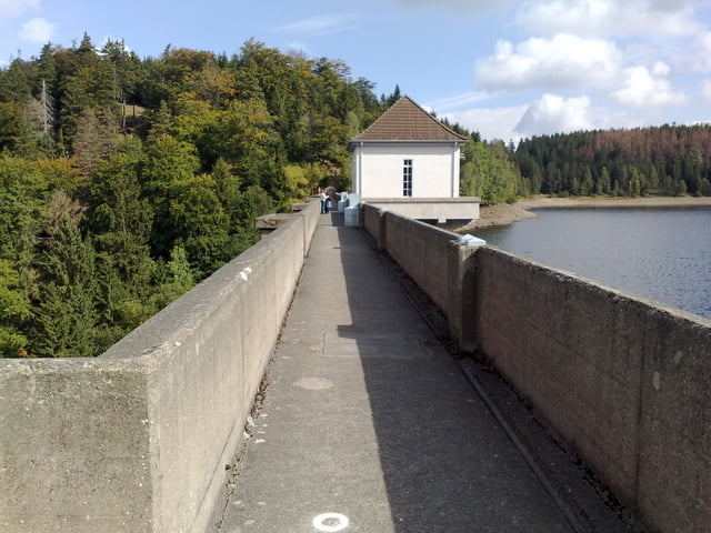
Eine nette kleine Runde für Leute deren Kondition noch nicht auf dem besten Level ist. Macht richtig Spaß. Wer also keine Lust auf Mamut touren hat, sollte diese mal ausprobieren. Technisch ist Sie auch nicht auf dem untersten Level.
Galerie du tour
Carte du tour et altitude
Minimum height 475 m
Maximum height 802 m
Commentaires

Tracks GPS
Trackpoints-
GPX / Garmin Map Source (gpx) download
-
TCX / Garmin Training Center® (tcx) download
-
CRS / Garmin Training Center® (crs) download
-
Google Earth (kml) download
-
G7ToWin (g7t) download
-
TTQV (trk) download
-
Overlay (ovl) download
-
Fugawi (txt) download
-
Kompass (DAV) Track (tk) download
-
Feuille de tours (pdf) download
-
Original file of the author (gpx) download
Add to my favorites
Remove from my favorites
Edit tags
Open track
My score
Rate


