


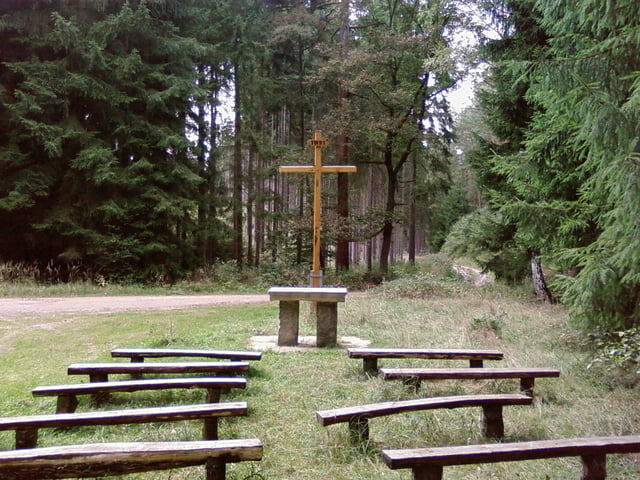
Von Jena entlang des Saaleradweges bis kurz Kahla, dort links in die Suppiche einbiegen. Ein langgestreckter Aufstieg folgt nun, bis man kurz vor Oberbodnitz die Landstraße erreicht. Nach rechts ginge es direkt nach Seitenroda unterhalb der Leuchtenburg und auf kurzem Weg zurück nach Jena. Wendet man sich nach links, erreicht man schnell Oberbodnitz. Von hier geht es über Geisenhain und Stadtroda auf den Radweg "Städtekette" und auf ihm zurück nach Jena.
Galerie du tour


Carte du tour et altitude
Minimum height 118 m
Maximum height 310 m
More about the tour author
|
|
aussie1248 |
Commentaires

Jena-Stadtzentrum
Tracks GPS
Trackpoints-
GPX / Garmin Map Source (gpx) download
-
TCX / Garmin Training Center® (tcx) download
-
CRS / Garmin Training Center® (crs) download
-
Google Earth (kml) download
-
G7ToWin (g7t) download
-
TTQV (trk) download
-
Overlay (ovl) download
-
Fugawi (txt) download
-
Kompass (DAV) Track (tk) download
-
Feuille de tours (pdf) download
-
Original file of the author (gpx) download
More about the tour author
|
|
aussie1248 |
Add to my favorites
Remove from my favorites
Edit tags
Open track
My score
Rate