


1. Tag vom Allgäu über Timmelsjoch und Jauffenpass nach St. Martin im Thurn. "Übernachtung in Pension Elisabeth ist sehr zu empfehlen" 295 km.
2. Tag von St. Martin nach Comeglians " Ausgangspunkt für den Monte Zoncolan und Monte Crostis, unbedingt fahren, es lohnt sich". Am Monte Crostis senkte sich bei etwa 1850 mtr. die Wolkendecke und wir standen im dichten Nebel und kehrten um. Hier begann auch die Schotterstraße. 209 km.
3. Tag Von Comeglians nach Bovec. " Ausgangspubnkt für die Mangartstraße wieder bei herrlichem Wetter "auf keine Fall versäumen, einfach traumhaft", am WE möglicherweise reger Ausflugsverkehr. Wir waren nahezu alleine. 187 Km.
4. Tag Von Bovec über Vrsic-Sattel, Wurzenpass nach Kärnten und über Loiblpass wieder nach Slowenien nach Kobarid 228 Km.
5. Tag Von Kobarid nach Hause 450 Km. Es sollte noch weiter gehen über Seebergsattel und Paulitschsattel. Wegen Schlechtwetter in Kärnten und der Steiermark und eisiger Kälte, nicht über 10° bevorzugten wir die Flucht über die Dolomiten nach Hause.
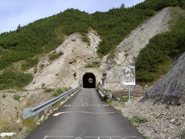
Galerie du tour


Carte du tour et altitude
Minimum height 130 m
Maximum height 2472 m
More about the tour author
|
|
yr1willi |
Commentaires

das Allgäu kennt jeder.
Tracks GPS
Trackpoints-
GPX / Garmin Map Source (gpx) download
-
TCX / Garmin Training Center® (tcx) download
-
CRS / Garmin Training Center® (crs) download
-
Google Earth (kml) download
-
G7ToWin (g7t) download
-
TTQV (trk) download
-
Overlay (ovl) download
-
Fugawi (txt) download
-
Kompass (DAV) Track (tk) download
-
Feuille de tours (pdf) download
-
Original file of the author (gpx) download
More about the tour author
|
|
yr1willi |
Add to my favorites
Remove from my favorites
Edit tags
Open track
My score
Rate