


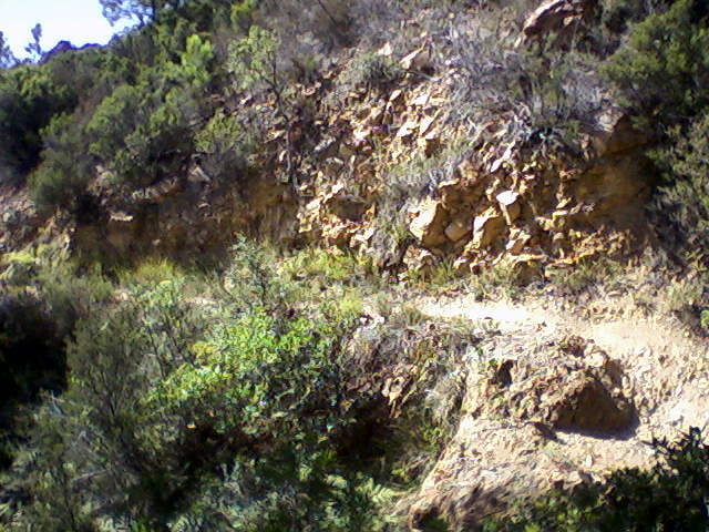
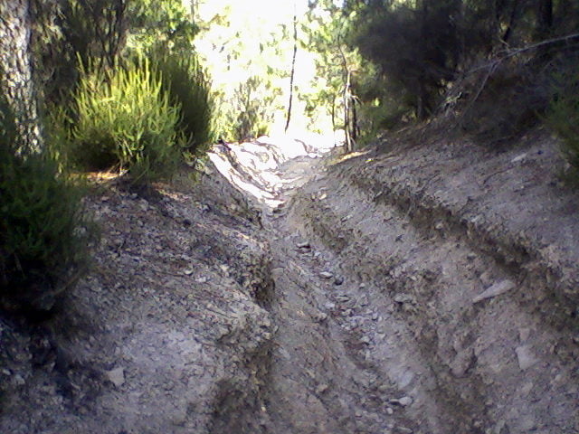
von La Napoule geht es zuerst über ein Alsphaltstück den ersten Anstieg hoch, danach über eine wellige Schotterpiste mit kurzen kräftigen Anstiegen zum Wanderparkplatz Pic de l`Ours. Dort beginnt ein schöner Singletrail rund um den Berg. Nach der Rückkehr zum Wanderparkplatz folgt wieder ein kurzes Schotterstück danach über Singletrails zurück nach Theoule sur Mer, von dort über die Küstenstrasse nach La Napoule
Galerie du tour
Carte du tour et altitude
Minimum height -17 m
Maximum height 382 m
More about the tour author

|
hirric |
Commentaires

Norbert_K
on 08.03.2009
Ich bin die Tour im August 2008 in ähnlicher Form gefahren. Einfach herrlich.
Norbert_K
on 08.03.2009
Ich bin die Tour im August 2008 in ähnlicher Form gefahren. Einfach herrlich.
Aufzeichnung ab Cannes, La Bocca. Start der Runde in La Napoule
Tracks GPS
Trackpoints-
GPX / Garmin Map Source (gpx) download
-
TCX / Garmin Training Center® (tcx) download
-
CRS / Garmin Training Center® (crs) download
-
Google Earth (kml) download
-
G7ToWin (g7t) download
-
TTQV (trk) download
-
Overlay (ovl) download
-
Fugawi (txt) download
-
Kompass (DAV) Track (tk) download
-
Feuille de tours (pdf) download
-
Original file of the author (gpx) download
More about the tour author
|
|
hirric |
Add to my favorites
Remove from my favorites
Edit tags
Open track
My score
Rate