


Der GPS-Track von Sorico nach Fordeccia und bis zum Kirchlein von San Bartolomeo dient als Anfahrthilfe zum Startpunkt.
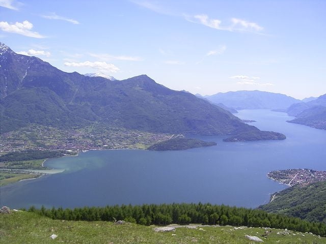
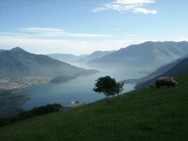
Die eigentliche Wanderung beginnt in San Bartolomeo (1202m) beim Kirchlein und geht dem Bergrücken hoch zu einer kleinen Almsiedlung Alpe Pescedo (1560m). Hier dann hinüber zu Alpe di Mezzo (1554m) und Alpe Gigai (1627 m), welche auch der höchste Punkt der Wanderung ist.
Von hier dann auf schmalem Wanderweg zur Alpe Prato (1353 m) weiter zur Alpe Piazza (1265 m) und Alpe Zocca (1178 m) dann weiter nach Montalto zum Refugio Dalco (965 m). In Montalto dann zurück auf der Via Lariana nach Fordeccia (1094 m) und weiter nach San Bartalomeo.
In Fordeccia hat es ein Rifugio „Agriturismo da Giacomino“ das als Ausgangspunkt/Parkplatz dient, ein gleichwertiger Startpunkt ist Montalto beim Rifugio Dalco an der Via Lariana.
Further information at
http://www.casarina.comGalerie du tour
Carte du tour et altitude
Minimum height 224 m
Maximum height 1627 m
More about the tour author
|
|
skyhopper |
Commentaires

Man fährt mit dem Auto ab Gera Lario auf der SP1 Richtung Monte Mezzo (Ortsausgang Richtung Domaso), hier dann Richtung San Bartholomeo (Der Track enthält die Auffahrt zur besseren Orientierung). Vor San Bartholomeo hat es ein Refugio das als Ausgangspunkt / Parkplatz dient.
Tracks GPS
Trackpoints-
GPX / Garmin Map Source (gpx) download
-
TCX / Garmin Training Center® (tcx) download
-
CRS / Garmin Training Center® (crs) download
-
Google Earth (kml) download
-
G7ToWin (g7t) download
-
TTQV (trk) download
-
Overlay (ovl) download
-
Fugawi (txt) download
-
Kompass (DAV) Track (tk) download
-
Feuille de tours (pdf) download
-
Original file of the author (gpx) download
More about the tour author
|
|
skyhopper |
Add to my favorites
Remove from my favorites
Edit tags
Open track
My score
Rate