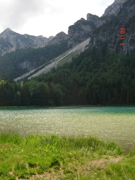
Eine wahnsinnig tolle, sehr abwechslungsreiche Rundtour mit einer atemberaubnden Trail Abfahrt von der Steiner Alm. Ein Highlight auch der Single Trail über Piding!!
Carte du tour et altitude
Minimum height 482 m
Maximum height 1101 m
Commentaires
Hinter Inzel am Parkplatz vom afe Zwing. Auf den Wanderweg andere Straßenseite Richtung Falkensee.
Tracks GPS
Trackpoints-
GPX / Garmin Map Source (gpx) download
-
TCX / Garmin Training Center® (tcx) download
-
CRS / Garmin Training Center® (crs) download
-
Google Earth (kml) download
-
G7ToWin (g7t) download
-
TTQV (trk) download
-
Overlay (ovl) download
-
Fugawi (txt) download
-
Kompass (DAV) Track (tk) download
-
Feuille de tours (pdf) download
-
Original file of the author (gpx) download
Add to my favorites
Remove from my favorites
Edit tags
Open track
My score
Rate


mtb
mtb