Login

Login oublié ?

Cookies have to be accepted!
Your browser's cookie functionality is disabled. Please enable this functionality.

Not a member yet?

Register now
Login

Available for registred users only

Log in to use this feature.

Login oublié ?

Cookies have to be accepted!
Your browser's cookie functionality is disabled. Please enable this functionality.

Not a member yet?

Register now
Filter
Catégories
Advanced filters
  • Longueur (km)
  • Altimètre
Enregistrer le filtre Reset filter

TrackRank

QRCode

Technical data

Longueur7,1 km Altimètre154 m Way down153 m Durée02:00 h:m Date28.09.2008
Evaluations Author Paysage Aspect amusement Condition Technique

Statistiques

664 Vues Evaluations 29 Téléchargements Moyenne
Rate
  • Feuille de tours
  • Arrivée
  • Téléchargements

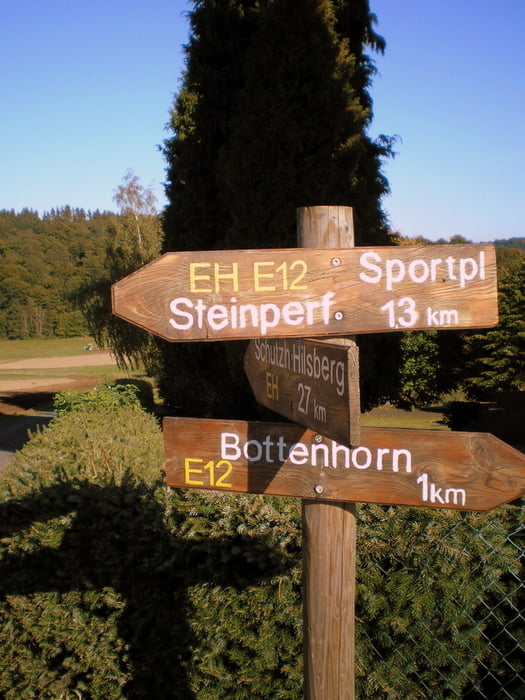
Kleine Schnuppertour in der landschaftlich schönen Wanderregion um Bottenhorn.

Bei Nässe kann es Stellenweise matschig werden.


Weitere Infos unter

www.bottenhorn.com


Galerie du tour

Carte du tour et altitude

  • Open Street Map
  • Google
Minimum height 471 m Maximum height 546 m Vue de détail

More about the tour author

Heinrichs
Member since 2007

Send private message

Commentaires

Tracks GPS

Trackpoints
  • GPX / Garmin Map Source (gpx) download
  • TCX / Garmin Training Center® (tcx) download
  • CRS / Garmin Training Center® (crs) download
  • Google Earth (kml) download
  • G7ToWin (g7t) download
  • TTQV (trk) download
  • Overlay (ovl) download
  • Fugawi (txt) download
  • Kompass (DAV) Track (tk) download
  • Feuille de tours (pdf) download
  • Original file of the author (gpx) download

More about the tour author

Heinrichs
Member since 2007

Send private message
Share track
Add to my favorites
Remove from my favorites
Edit tags
My score
Rate
Tour: Schnuppertour im Wandergebiet Bottenhorn
Cat.: Randonnées
Longueur: 7,1 km
Evaluated on:
Durée:
Day(s)
Hour(s)
Minute(s)
Evaluation: Paysage Aspect amusement Condition Technique