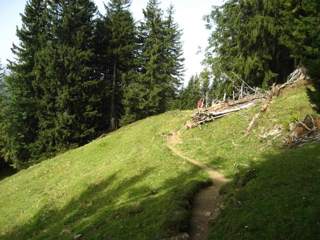
Wanderung von Grasgehren über den Riedbergsattel zur Oberen Mittelalpe. Anschließend Richtung Schönbergalpe und Herzbergalpe. Dort auf den Verbindungspfad zum Königsweg nach Obermaiselstein.
Es empfiehlt sich den Bus von Obermaiselstein in Richtung Bregenz über Grasgehren zu nehmen, der morgens stündlich abfährt.
Galerie du tour
Carte du tour et altitude
Minimum height 852 m
Maximum height 1609 m
Commentaires

Tracks GPS
Trackpoints-
GPX / Garmin Map Source (gpx) download
-
TCX / Garmin Training Center® (tcx) download
-
CRS / Garmin Training Center® (crs) download
-
Google Earth (kml) download
-
G7ToWin (g7t) download
-
TTQV (trk) download
-
Overlay (ovl) download
-
Fugawi (txt) download
-
Kompass (DAV) Track (tk) download
-
Feuille de tours (pdf) download
-
Original file of the author (gpx) download
Add to my favorites
Remove from my favorites
Edit tags
Open track
My score
Rate


