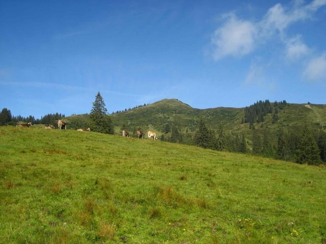
Von Grasgehren auf das Riedbergerhorn. Weiter Richtung Wannenkopf zum Steinhaufen. Von dort zur Wannenkopfhütte, mit Einkehr, nach Obermaiselstein.
Bis nach Grasgehren fährt ein Bus von Oberstdorf kommend bis nach Bregenz.
Galerie du tour
Carte du tour et altitude
Minimum height 905 m
Maximum height 1788 m
Commentaires

Tracks GPS
Trackpoints-
GPX / Garmin Map Source (gpx) download
-
TCX / Garmin Training Center® (tcx) download
-
CRS / Garmin Training Center® (crs) download
-
Google Earth (kml) download
-
G7ToWin (g7t) download
-
TTQV (trk) download
-
Overlay (ovl) download
-
Fugawi (txt) download
-
Kompass (DAV) Track (tk) download
-
Feuille de tours (pdf) download
-
Original file of the author (gpx) download
Add to my favorites
Remove from my favorites
Edit tags
Open track
My score
Rate


