
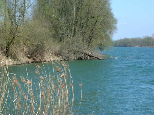

Der Mittelteil meiner 3-Tages-Inn-Tour. In Wasserburg war die erste ziemliche Steigung zu bewältigen. An Fluss liegt die Höhe bei 430 ü. NN und nach ca. eienm Kilometer ist man dann auf 490 ü. NN aufgestiegen.
Auch danach ging es immer wieder ziemlich Hügelig weiter, bis man bei Gars parallel der Eisenbahn färt.
Further information at
http://de.wikipedia.org/wiki/RosenheimGalerie du tour

Carte du tour et altitude
Minimum height 376 m
Maximum height 528 m
More about the tour author
|
|
peter65191 |
Commentaires

Die Anreise ist nicht notwendig gewesen, da ich in Nußdorf, nach meiner ersten Inn-Etappe übernachtet hatte.
Tracks GPS
Trackpoints-
GPX / Garmin Map Source (gpx) download
-
TCX / Garmin Training Center® (tcx) download
-
CRS / Garmin Training Center® (crs) download
-
Google Earth (kml) download
-
G7ToWin (g7t) download
-
TTQV (trk) download
-
Overlay (ovl) download
-
Fugawi (txt) download
-
Kompass (DAV) Track (tk) download
-
Feuille de tours (pdf) download
-
Original file of the author (gpx) download
More about the tour author
|
|
peter65191 |
Add to my favorites
Remove from my favorites
Edit tags
Open track
My score
Rate