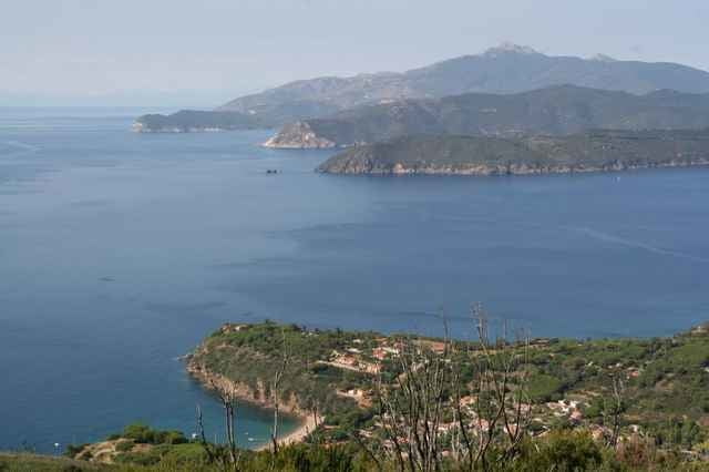
Entspanntes Cuisen kreuz und quer auf der Calamita-Halbinsel. Teilstrecken der alten MTB-Weltcup-Strecke von anno-dazumal sind enthalten, die Sandstrände sind auch nicht weit weg. Auf der Punta Calamita finden sich aber noch etliche Pisten...
Galerie du tour
Carte du tour et altitude
Minimum height 162 m
Maximum height 403 m
Commentaires

Startpunkt ist Ortsmitte Capoliveri
Tracks GPS
Trackpoints-
GPX / Garmin Map Source (gpx) download
-
TCX / Garmin Training Center® (tcx) download
-
CRS / Garmin Training Center® (crs) download
-
Google Earth (kml) download
-
G7ToWin (g7t) download
-
TTQV (trk) download
-
Overlay (ovl) download
-
Fugawi (txt) download
-
Kompass (DAV) Track (tk) download
-
Feuille de tours (pdf) download
-
Original file of the author (g7t) download
Add to my favorites
Remove from my favorites
Edit tags
Open track
My score
Rate


